Beautiful Days Ahead Of Windy & Wet Weekend
Watching for Ian impacts Friday - Sunday
Forecast:
Tonight: Mostly clear. Lows in the low to mid 50s.
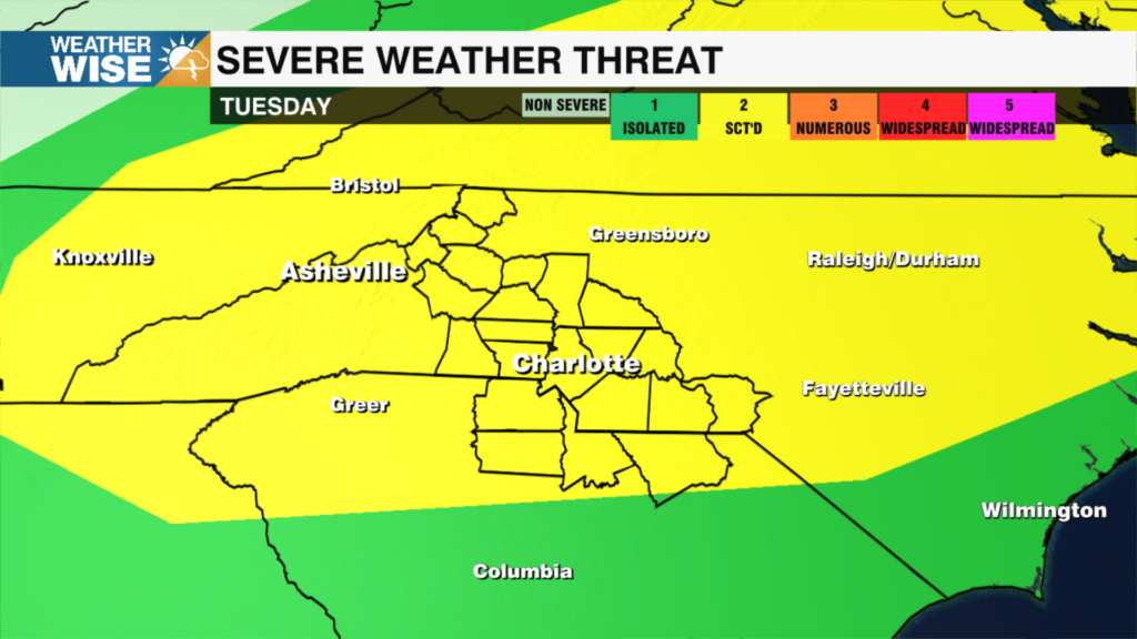
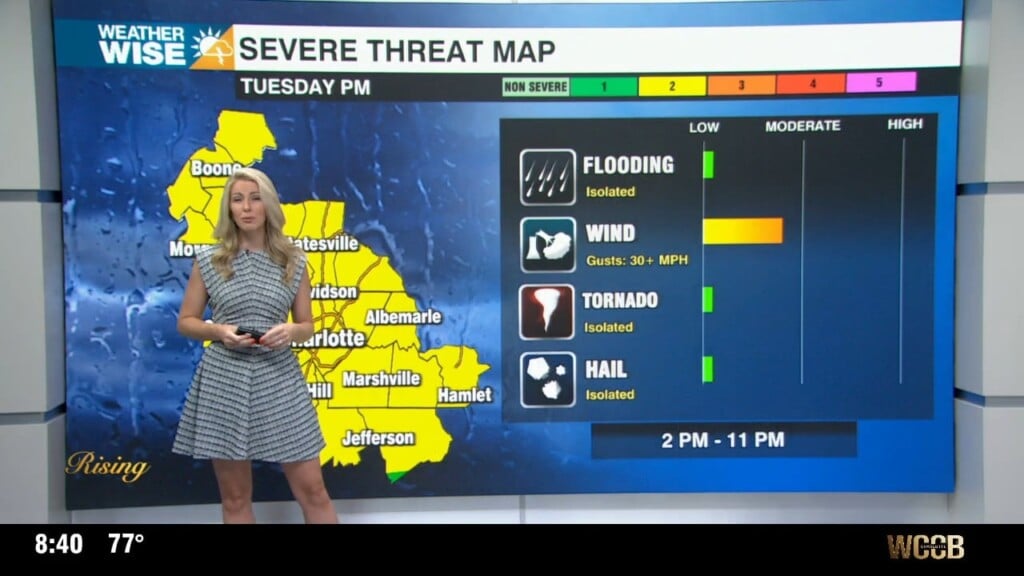
Tuesday: Sunny and beautiful! Highs in the mid to upper 70s.
Wednesday: Mostly sunny. Highs in the low 70s.
Thursday: More clouds. Partly sunny with highs near 70s.
Friday and Saturday: Tracking impacts from a wedge and Ian.
Hurricane Ian:
Ian is currently a category 1 hurricane approaching Cuba. Ian will rapidly intensify through Wednesday as it continues to track through favorable conditions. With some land interaction and increased wind shear, rapid weakening will occur later this week.
For the WCCB Charlotte area:
We will see rain regardless of the track – with a high pressure over the northeast and Ian to our south, 2-4” of rain is likely. The severity of the overall impacts all depend on the track. A more westward track (american model) would mean possible tornadoes, heavy rain and gusty wind. If Ian goes to the east (european model) of us this would mean some wind and rain, but lower impacts overall.
For the Carolina Coast:
Some coastal flooding is likely due to a persistent onshore wind. Depending on the track, tornadoes are possible.
For Southwest Florida:
Life-threatening storm surge is possible along the southwest Florida coast beginning late Tuesday. Storm surge up to 10 feet is possible in and around Tampa Bay.
Notes on Ian:
– A mandatory evacuation order has been issued for parts of the Florida Peninsula.
Have a wonderful week!
Kaitlin