Newly Formed Idalia To Bring Tropical Trouble to Carolinas
As rain chances rise, temperatures will take a tumble this week.
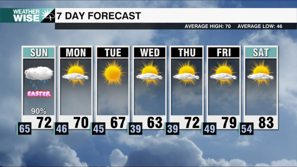
Saturday may have been the hottest (97º) day we’ve seen so far this year, but the week ahead may end up being the coolest since late spring. We’ll have widespread cloud and shower/storm coverage to thank for that. A stalled frontal system will make itself at home over the next 48 hours, bumping up rain chances through the first two days of the workweek. Most communities can expect at least 1-2″ through Tuesday night. The severe risk will be low, but a few strong storms may pop up in the afternoons ahead. The tropics could bring us even more rain by midweek.
Tropical Storm Idalia was officially named by the National Hurricane Center this Sunday morning. Although Idalia will sit tight over the next day or so, it will begin a jog northward by Monday night. The newly named storm will likely make landfall in Florida by Wednesday afternoon, but the rest of the forecast from there is unclear. Medium-range models have been trending Idalia farther east, which would result in a cooler Thursday with significantly less rainfall for the Metro and northward. However, a slower trend back towards the west could put the Queen City in the bullseye for heavy rain, so stay weather-wise this week.
Tonight: Storms early, then clearing late. Low: 72°. Wind: Light.
Monday: Mostly cloudy with scattered storms. A few may be strong. High: 85°. Wind: Variable 5-10.
Monday Night: Overcast with off-and-on rain. Low: 72°. Wind: NE 5-10.
Tuesday: Another mess of a day. High: 85°. Wind: SE 5-10.


