Perfect Start to October
We'll be hard-pressed to see even a drop of rain in the Queen City over the next five days.
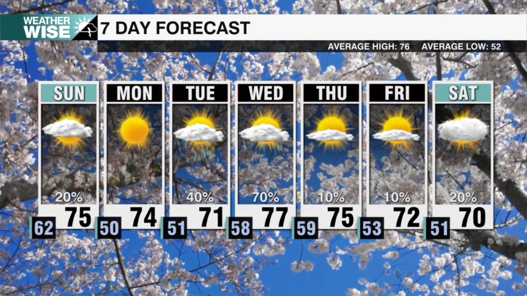
This final day of September marks one full week of fall, and the season is off to a great start. The good times will keep on rolling into the 10th month of the year. After some patchy fog and even some drizzle in the High Country and Foothills, plentiful sunshine and highs in the 70s and 80s return by October’s first afternoon. Expect a copy-and-paste forecast well into the workweek before a sharp cold front brings rain chances and frosty air into the Carolinas by next weekend; the High Country may see its first freeze around this timeframe.
Tropical storms Phillipe and Rina continue their Fujiwhara dance to the northeast of the Caribbean. Models are suggesting Phillipe, the stronger system, will continue its cannibalism of Rina before jogging toward the north and eventually northeast. Neither storm will impact the Carolinas. Closer to home, fall colors are finally starting to pop a bit in the Appalachians. Peak color season in our mountain counties is about 2-3 weeks away; the Metro and southeastward will have to wait another month.
Tonight: Mostly clear. Patchy fog/mist NW. Low: 60°. Wind: NE 5-10.
Sunday: AM patchy fog NW. PM sunshine. High: 80°. Wind: NE 5-15.
Sunday Night: Clear and cool. Low: 58°. Wind: NE 5-10.
Monday: Another stunner. High: 82°. Wind: NE 5-15.


