Warm Start to Workweek
Scattered showers may impact any outdoor plans you have on Tuesday, but we'll remain warm through midweek.
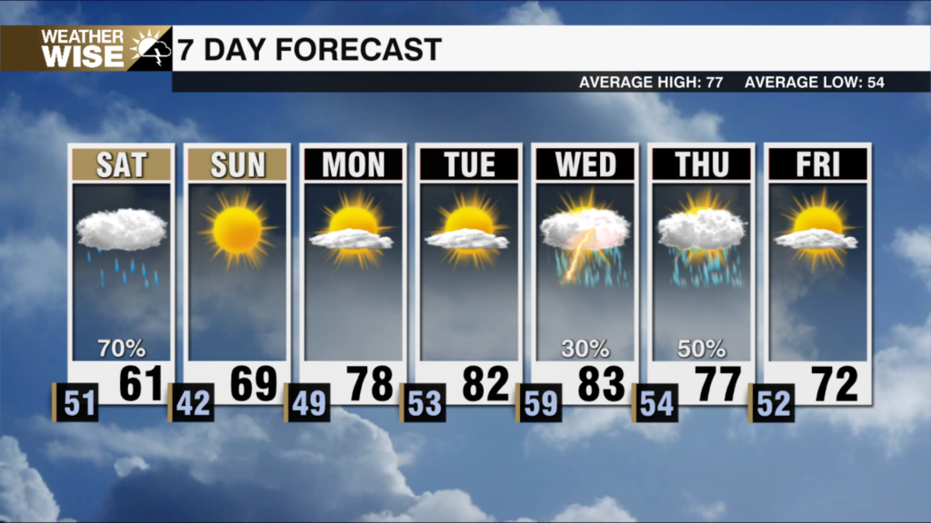
Cooler air has returned for our final Sunday of February, but spring roars back by the start of the workweek. We’ll need to watch out for a few stray showers north and west of the Metro overnight into Monday morning, but most remain dry as lows only fall near 40º in the Queen City. Plentiful sunshine and stiff southwesterly breezes will push highs back into the 70s for most across the Piedmont and Foothills by the afternoon. More clouds build into the Carolinas by Tuesday morning, keeping lows around 50º to start the second day of the workweek. Scattered showers will roll throughout the day, but we’ll remain warm in the upper 60s.
The blowtorch out of the southwest will crank up the heat on Wednesday. Charlotte may approach record territory for our Hump Day as highs break into the mid-70s. Big changes arrive in the form of a cold front overnight into Thursday. The incoming system won’t bring much in terms of rain, but will make up for the lack of moisture with a powerful punch of cold air. Highs will struggle to get out of the 30s and 40s as we end the workweek and start March. A coastal low will ride on the heels of Thursday’s system, bringing a chilly rain into the weekend.
Tonight: Clouds build. Stray shower NW? Low: 40°. Wind: S 5-10.
Monday: Sunny and warm. High: 70°. Wind: SW 5-15. Gusts: 20+
Monday Night: Variable clouds. Mild. Low: 50°. Wind: SW 5-15. Gusts: 20+
Tuesday: Mostly cloudy with scattered showers. High: 66°. Wind: SW 5-15. Gusts: 20+


