Cooler and Breezy Thursday
AM Headlines:
- Much Cooler and Breezy
- Winter Weather Advisory
- Mountains until Friday 5am
- Snowfall Totals: Up to 4″. Above 4000′ 4-6″
- Windy w/ gusts 40+mph and wind chills in the teens & 20s
- Patchy Frost Friday AM
- Warming back up early next week
Discussion:
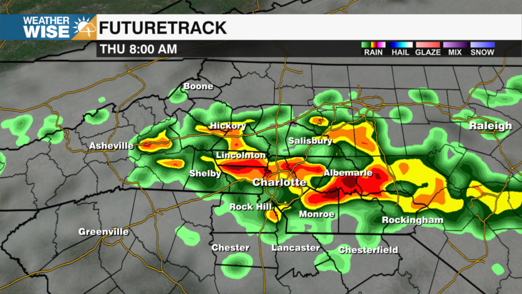
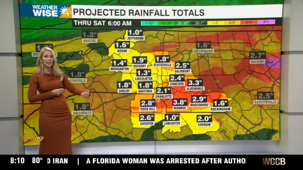
A winter weather advisory is in effect for the mountains. Roads may be slick with up to 4″ of snowfall possible. Areas above 4000′ closer to the TN border could see 4-6″ of snow. This won’t be a continuos snow. Expect on and off snow showers through Friday morning. Gusts up to 40mph will be possible making it feel like the teens and 20s across our mountain communities. Cooler air and breezy weather also expected for the Piedmont today with highs only reaching the upper 50s. Winds will die down overnight with lows falling into the mid to upper 30s. We could see some patchy frost by daybreak. Temps will remain cool Friday and Saturday with highs in the low 60s. We will gradually warm into the mid 70s by early next week. High clouds expected Monday during the eclipse, but right now not looking overcast to completely block those views.