Refreshing Start To The Week, Watching The Tropics Mid-Week
AM Headlines:
- Pleasant Start to the Week
- Dry through Wednesday
- Tropical Moisture Spills in Late Week
- Potential Tropical Cyclone Six = Francine?
Discussion:
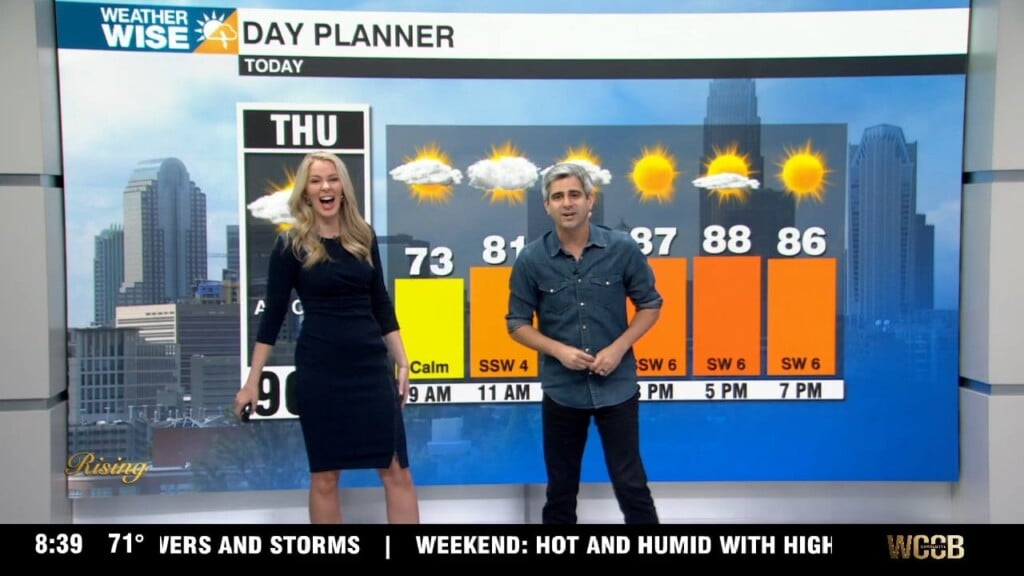
High pressure parked over the region will keep our forecast pleasant and refreshing this week with highs slightly below average. Temps will top out in the low 80s under sunny skies today. The forecast will remain pleasant and dry through mid-week with low humidity and slightly below average temperatures. By late week, a tropical system developing in the Gulf — Potential Tropical Cyclone Six — will impact our area Thursday and Friday after moving inland over Louisiana/Texas by midweek. Locally clouds will increase along with rain chances as tropical moisture surges north. Depending on the system’s track, we will need to monitor for steady rain that could lead to potential flooding.
Latest on Potential Tropical Cyclone Six
This disturbance in the Gulf of Mexico will likely become Francine within the next 24 hours with direct impacts likely for Texas and Louisiana.
Current Location: 550 mi S of Cameron, LA
Movement: WNW 5 mph
Wind: 50 mph, forecast to become a hurricane by Tuesday
Forecast Track: Approaching Louisiana/Upper Texas Coasts by Wednesday
Rainfall: 4-8 inches expected, but up to 12 inches possible, increasing the risk of flash flooding
Current Watches: Tropical Storm Watches in effect for parts of the Texas coast