Morning dense fog, warmer through mid-week
AM Headlines:
- Dense Fog Advisory
- Feeling Spring-like
- Midweek Rain
- Big Cool down coming
- Frosty Weekend
Discussion:
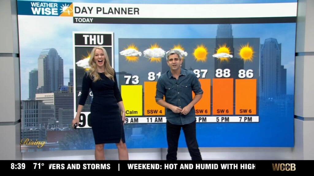
A dense fog advisory is in effect until 9am for most of the region. Visibility could drop to a quarter mile or less, making for a tricky morning commute. Fog will clear mid to late morning with temperatures warming into the 60s today. Wednesday brings scattered showers and an isolated rumble of thunder or two ahead of a cold front Wednesday night. Highs will top out near 70 ahead of the front. Breezy and cooler behind the front with highs back in the mid 50s Thursday. A reinforcing shot of colder air arrives with another front Friday sending temperatures on a nose dive. back into the 40s Saturday. Some light mountain snow near the TN border will be possible Friday night into Saturday, but the rest of the area will remain dry. Temperatures will get even colder Sunday with morning lows in the teens and 20s and highs struggling to break out of the upper 30s to lower 40s.