Ridge over the southeast will be cranking up the heat
AM Headlines:
- Wedge breaks down
- Record Heat Late Week
- Spotty Storms
- Sunday Cold Front
- Spring Chill Next Week
Discussion:
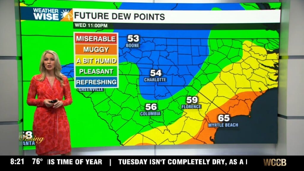
The cool wedge that had us stuck under the clouds and drizzle will break down today leading to a big warm up. We’ll climb into the 80s this afternoon with highs creeping up near 90 Friday and Saturday. We have a shot at record highs and record max low temps. Humidity is also ramping up, making it feel more like June, than April. Each day will start with low clouds, but we’ll see more sunshine by the afternoon. That mix of heat and humidity will spark a few showers and storms.
On Sunday a cold front will reach the area. You can expect gusty winds and a round of rain and a few rumbles, but the severe threat will remain low. Moisture will surge into the area and we could see some heavy downpours with wet weather through the start of the day Monday. Cooler and drier air will move in next with highs falling to the 50s and 60s. Hold off on doing any planting this weekend with the big warm up. Lows will fall into the 20s and 30s by Wednesday morning which could damage sensitive plants.