Pleasant start to the work week
AM Headlines:
- Sunny & Pleasant
- Clouds Return Midweek
- Unsettled Pattern Late Week
Discussion:
After a stormy weekend, we’re in for a pleasant start to the work week. Today will be an “open the windows” type of day with highs in the mid 70s under sunny skies. While most of the area stays dry, a little extra instability from a spinning upper level low to our west could trigger a few isolated showers and even a rumble of thunder over the mountains and foothills this afternoon. Anything that pops up will be quick moving and non-severe.
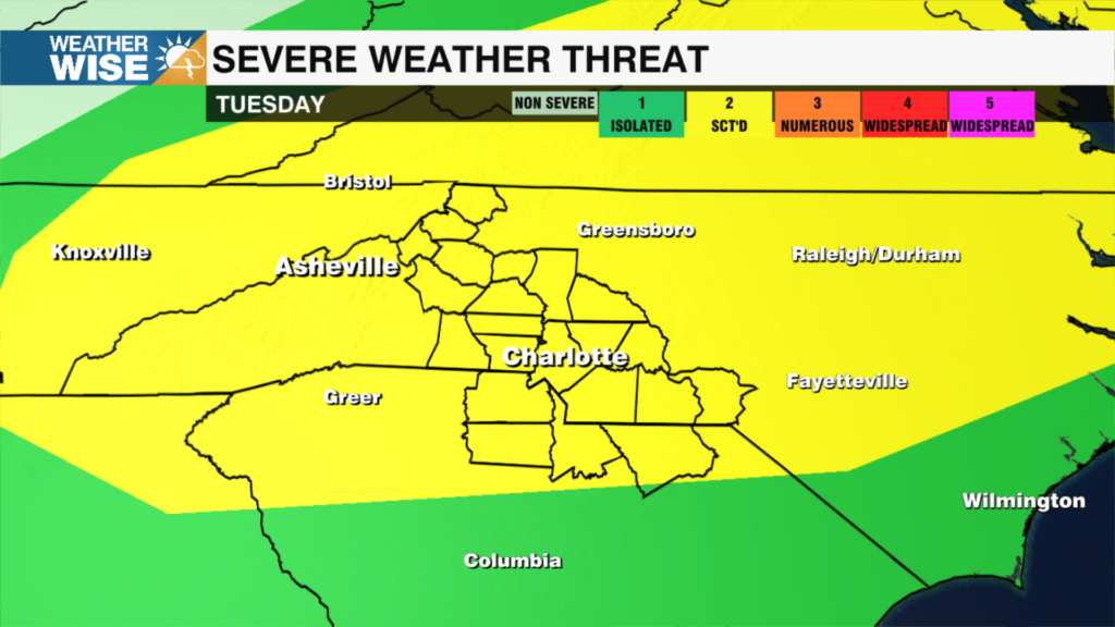
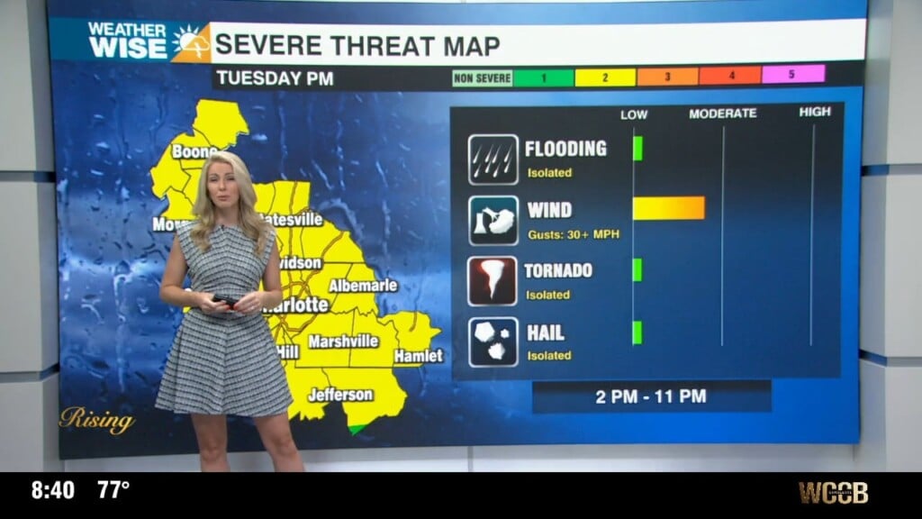
Tuesday will remain pleasant, with more sunshine and highs near 80. Clouds will begin to increase Tuesday night as a warm front begins to lift across the region. This will kick off a more unsettled pattern with scattered showers possible Wednesday evening through Friday. This isn’t going to be a wash out, but on and off rain and storm chances will linger through the end of the week.
By the weekend, a cold front slides in and temps trend cooler again. Some models are hinting at a coastal low forming, which could keep rain chances through the weekend — something to watch over the next few days.