WeatherWise Alert: Severe storms possible late Thursday
- PM Severe Threat
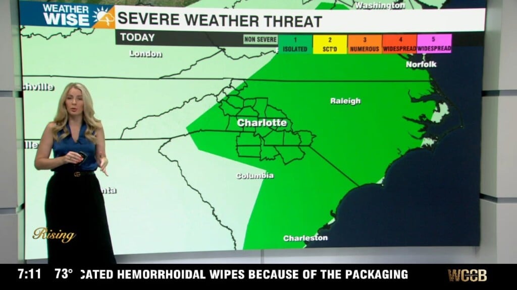
- Level 2 (out of 5) North and West of I-77
- Damaging Wind & Large Hail = Primary Concerns
- Low but not zero Tornado Threat
- Level 2 (out of 5) North and West of I-77
- Unsettled Mother’s Day Weekend
- Staying Wet through Next Week
We’re tracking the threat of severe weather today, mainly focused on this afternoon through the evening hours. Expect storms to fire up in the high country and foothills by mid-afternoon, then move east towards the Piedmont—most likely impacting the I-77 corridor by 6-7pm. The setup favors large hail (up to 2”, or about the size of hen egg — very unusal for this area) and damaging wind gusts with strong instability as temps warm into the low 80s during the day and tropical moisture surges into the area. The tornado risk is low but not zero, especially this evening if storms remain semi-discrete. Storms may organize into clusters or a line later tonight, especially south of I-85. After midnight, most of the activity fades, but a few showers could linger with patchy fog possible by morning.