Afternoon storms return as humidity builds
AM Headlines:
- Hot and Muggy
- Isolated Storms Monday
- Tuesday PM Cold Front
- Cooler and Breezy End to the Week
Discussion:
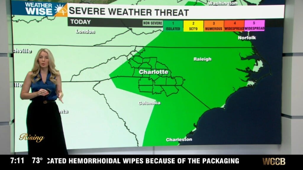
A stalled front near the area will keep the forecast a bit unsettled today with isolated storms possible south of I-85. Highs will top out in the mid 80s this afternoon with lows falling into the mid 60s overnight. A warm front wil lift across the region tomorrow, which will crank up with humidity during the day. A cold front will track towards the region Tuesday evening with storms beginning in the mountains that push east overnight. A low level severe threat is possible with gusty winds and hail being the biggest concerns. Onve the front moves through the area fully Wednesday, it’ll be noticeably cooler and more breezy Thursday and Friday. Highs will be below average — topping out in the mid 70s with gusty northwest winds. The cooler, dry trend will stick around through the start of the Memorial Day weekend.