Cool, cloudy and wet Tuesday
AM Headlines:
- Cool and Soggy
- Localized Flooding Threat
- Late Week Cold Front
- Drying out for the Weekend
Discussion:
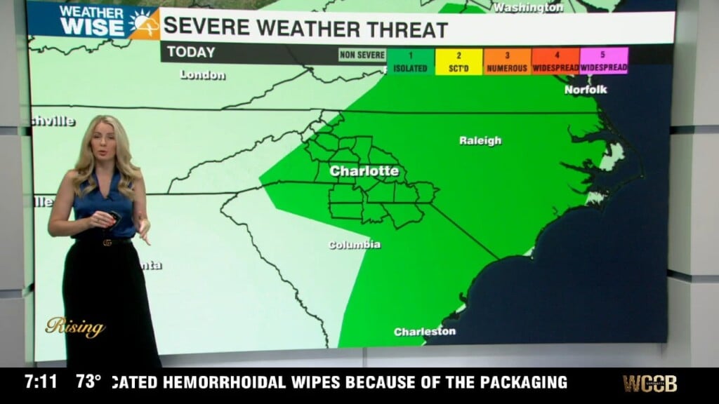
High pressure over the northeast is locking in the clouds and will keep temps a good 15-20 degrees below normal today. A stalled front to our south is helping to push moisture into the region which will keep light rain to moderate showers in the forecast through the day. A few spotty storms possible late in the day, but the bigger concern will be isolated flooding where storms tend to train. The wedge will begin to break down Wednesday with highs back in the upper 70s. Late week will be warm, but unsettled thanks to a cold front that will bring the potential for a few stronger storms Friday. We will get to dry out and warm up this weekend with highs back in the low to mid 80s by Saturday and Sunday.