Dry and pleasant, but still hazy
AM Headlines:
- Dry & Pleasant Start tothe Week
- Warming Up Midweek
- Late Week Tropical Moisture
- Weekend Storms
Discussion:
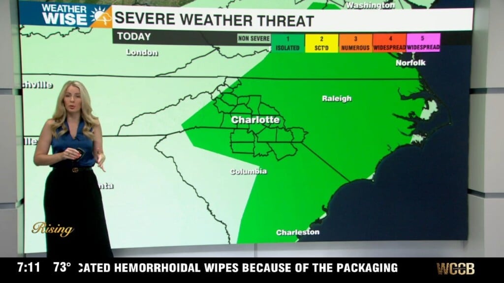
We’ve got a nice stretch to kick off the week. High pressure keeps us dry and comfortable through Wednesday. Highs will run in the low to mid 80s across most of the area with low levels of humidity – dew points stay in the 50s, so it won’t feel overly muggy yet. Mornings will feel especially pleasant with lows dropping into the 50s and low 60s. However, smoke from Canadian wildfires will make views a little hazy. This along with the stangant pattern due to high pressure will lead to increased ozone across the Upstate. An air quality alert has been issued for York, Lancaster and Chester counties from 10 a.m. until 8 p.m. Monday. Sensitive groups should limit time outdoors.
By Thursday, moisture starts creeping back in as a weak tropical system brushes the Southeast coast. Most of the rain stays well east of us, but we’ll see a few more clouds especially south and east of I-85. Temps will top out in the mid to upper 80s as humidity begins to rise. The bigger shift will be Friday into the weekend. A stalled front sets up nearby, bringing back the classic summer feel. Highs will push into the upper 80s to near 90 with dew points nearing 70, will make it feel more tropicsl. Afternoon storm chances will be scattered Saturday and Sunday with hit or miss downpours, but no all day washout.