Lingering heat advisories
AM Weather Headlines:
- Heat Advisory until 7pm
- More PM Storms
- Not as Hot, but Still Above Average
- Cold Front Early Next Week
Discussion:
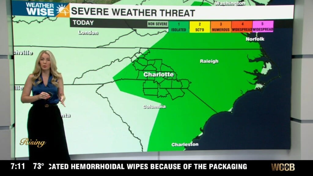
We’re still in the thick of the heat and humidity today, but it won’t be quite as intense as the last couple days. That said, it’s still steamy enough for a Heat Advisory from 2 to 8 PM along and east of I-77, where heat index values could top 105 to 108 this afternoon. Storms are back again today, but they will not be as widespread or as strong as yesterday, but still capable of producing damaging wind gusts, some isolated hail, and localized flooding, especially in areas that got soaked Wednesday.
The setup today is driven by a weakening ridge and a meandering disturbance over Florida that’s pushing in deep tropical moisture. Storms will mainly pop during the late afternoon and early evening, following a northeast-to-southwest track thanks to the upper level steering pattern. Expect highs in the low to mid 90s, with upper 80s to near 90 in the mountains. Storms should taper after sunset with patchy fog possible overnight. Looking ahead, storm chances continue Friday through the weekend, with a weak cold front potentially bringing more organized storms Tuesday and a slight dip in temperatures midweek. Temps won’t be as hot, but remain above average topping out in the low to mid 90s through early next week.