Spicy start to workweek
Rain chances largely remain at bay through the first two days of the workweek before returning in full force.
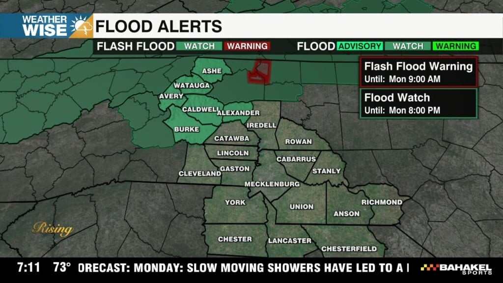
July’s first full workweek gets off to a spicy start as the remnants of former Tropical Storm Chantal spin off to our northeast. Highs will soar into the mid-to-upper 90s this Monday afternoon, aided by southwesterly winds and plentiful sunshine. Expect an even hotter Tuesday; highs could crack the triple digits south and east of the Queen City. Outside of stray afternoon pop-up showers and storms in the High Country, Foothills, and northwestern Piedmont, rain chances largely remain at bay through the first two days of the workweek.
Enjoy the drier times while they last – we’ll have no shortage of opportunities for rain as we move into the back half of the week. A slow-moving front will stall just to our north by Wednesday, bringing scattered showers and storms back into the forecast across the WCCB Charlotte viewing area. While the overall severe threat is low, some storms may pack gusty winds and heavy rain. The unsettled pattern continues into the weekend as lows sink closer to 90° in the Metro.
Monday: Hot sunshine. High: 96°. Wind: SW 5-10.
Monday Night: Mostly clear. Mild and muggy. Low: 74°. Wind: Light.
Tuesday: Another hot one. Stray PM storm? High: 98°. Wind: SW 5-10.
Tuesday Night: A stray storm early, then mostly clear. Low: 74°. Wind: Light.
Wednesday: Scattered storms, heavy at times. High: 93°. Wind: SW 5-10.