Mercury rises, clouds build into weekend
The next few days are trending drier, but rain chances rise again by Tuesday.
Happy Friday! We’re kicking off October’s first weekend on a beautiful note; sunny skies and comfy highs reign supreme once again this afternoon as temperatures rise into the mid-70s across the Piedmont and Foothills to close out the workweek. While more clouds build in this weekend, we stay dry and warm as highs surge near 80° around the Metro on Saturday and Sunday. Cool breezes continue their assault from the northeast over the coming days as a strong ridge of high pressure hangs over the northwestern Atlantic.
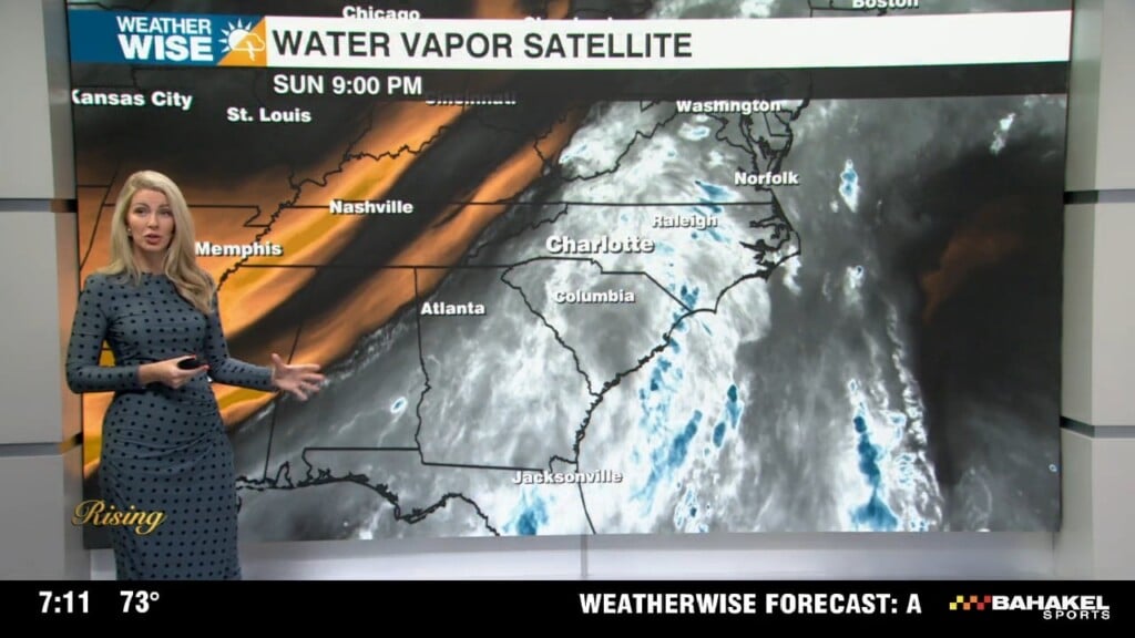
The start of the workweek is also trending drier, but rain chances begin to pick up by Tuesday evening as some tropical moisture surges northward from Florida. The National Hurricane Center is monitoring this weak disturbance for potential tropical development, which will bring heavy rain to the Southeast regardless of whether or not it gets a name. It still remains to be seen how far north this moisture will reach, but we can count on at least a few showers and storms between Tuesday and Thursday as a cold front approaches from the northwest. There is a low-end potential for severe weather on Wednesday as the front arrives; we’ll keep you weather-wise as the forecast becomes clearer.
Today: Sunny and comfy. High: 75°. Wind: NE 5-15.
Tonight: Clear and cool. Low: 53°. Wind: NE 5-10.
Saturday: Clouds build. Still nice. High: 78°. Wind: NE 5-10.
Saturday Night: Variable clouds. A bit milder. Low: 58°. Wind: NE 5-10.
Sunday: Mostly cloudy. Warmer. High: 80°. Wind: NE 5-15.