Janessa Webb

Email Janessa

Nationally recognized Meteorologist Janessa Webb brings her passion for weather and storytelling to the WCCB Charlotte WeatherWise team, where she delivers accurate and engaging forecasts every weekday evening at 9 and 10 p.m.

Born and raised in Anchorage, Alaska, Janessa’s passion for extreme weather began at an early age and has guided her through an extensive career in both national and local television. She returned to North Carolina after nearly four years in Washington, D.C., where she built a weather department from the ground up and served as Chief Meteorologist for several leading broadcasts.

Before that, Janessa was a Meteorologist for NBC News and MSNBC in New York City, appearing on programs such as Early Today, Morning Joe, NBC Nightly News, and The 11th Hour with Brian Williams. She also filled in for Al Roker on TODAY and previously served as a weekday meteorologist for WEWS-TV in Cleveland, Ohio. Webb spent her early years as a meteorologist in Anchorage, Alaska, at KYUR and KTVA for nearly nine years. She graduated from East Anchorage High School prior to studying at Winston-Salem State University and Mississippi State University.

Webb is a member of the National Weather Association, The American Meteorological Society, the National Association of Black Journalists. Webb has served as a mentor to young journalists throughout her career and believes strongly in giving back to the community.

When Webb isn’t tracking the weather, her faith and family remain the center of her life and foundation. She also has a passion for teaching and is a certified hot yoga instructor and personal trainer, she embraces an active lifestyle and loves a good adventure.

Articles

Tracking rain, and snow with a drop in temperatures overnight

Thursday morning may start with a stray flurry, but otherwise it’s just cold and cloudy. We stay dry through the day, and while 40 degrees is possible, most neighborhoods will likely spend the afternoon in the mid to upper 30s. We may catch a little sunshine late in the day as clouds begin to thin out.

Warmer tonight as our next storm system moves in

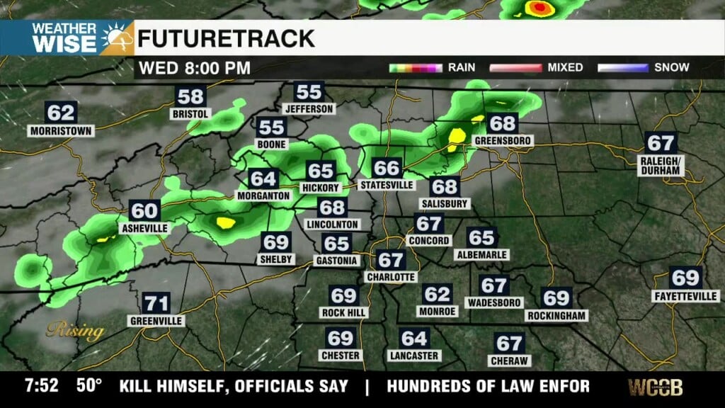
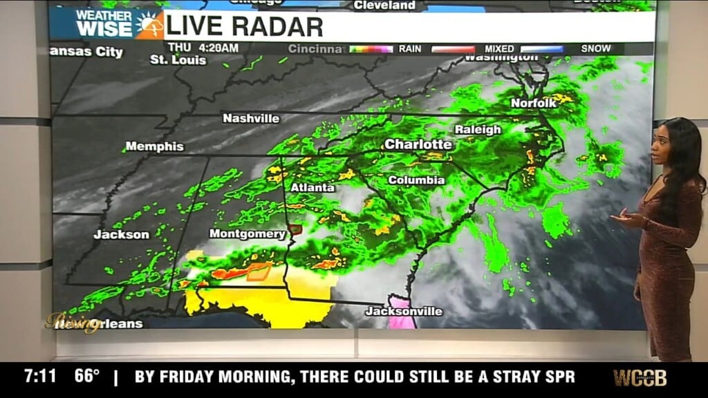
WednesdayΒ will beΒ unsettled from start to finish. We’ll wake up to cloudy skies and scattered showers around the area, but the bigger story is what happens later in the day. Rain becomes more widespread during the afternoon.Β 

Tracking a rain and a few flurries mid-week

Over the next couple of days, melting will continue across areas, especially where the sun can reach it. Shadier spots, as usual, will be slower to let go. Tonight we'll stay mostly clear with calm winds in the lower 20s. By Tuesday those higher elevations should finally break above freezing, with temperatures continuing to trend upward. Tuesday ends up being the warmest day in the short term, with many lower-elevation spots reaching the upper 40s to low 50s.

The latest on our Winter Storm

Looking ahead to the weekend, all eyes are on a system moving in from the south and west. Right now, the setup supports the chanceΒ that snow will move into the Charlotte area this weekend. While there’s still some wiggle room on exact snowfall totals, the current thinking supports at least an inch of snow for many. Combine that with gusty winds and plunging temperatures, and travel could become tricky from Saturday into Sunday. Area's east of CharlotteΒ Metro appears more favored for accumulation at this point, but light snow is on the table for many as t1he weekend gets underway.

Chilly conditions with sunshine persist

Tonight, and Thursday bring a veryΒ slow improvement in temperatures, and even that comes with an asterisk. Afternoon highs will creep into the low to mid-40s, which sounds nice until you remember late January usually feels closer to the low 50s. So yes, it’s progress, just not the kind you reallyΒ feel.

More cold continuing through the week

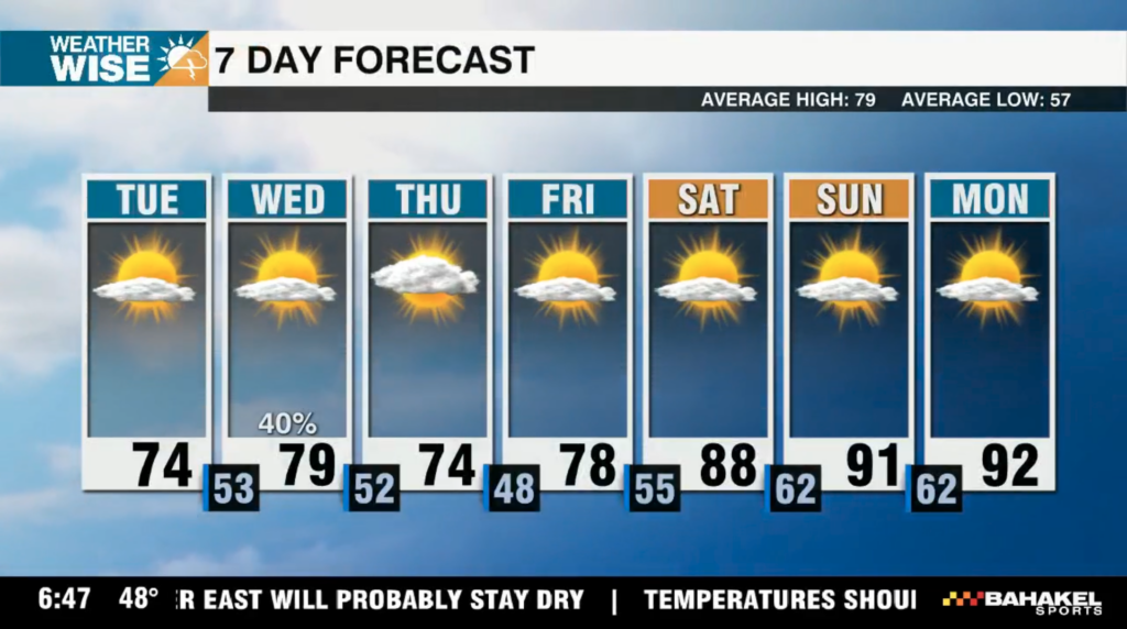
As we move into the middle of the week, temperatures begin a slow and steady climbΒ with anΒ emphasis onΒ slow. Wednesday and Thursday bring a slightly milder air mass, allowing highs to inch into the low to mid-40s. While that’s technically warmer, it’s still running well below our typical late-January average in the low 50s. Expect a mix of clouds and sunshine during the day, paired with cold mornings as overnight lows hover near 20 degrees. Winter layers remain a daily necessity.

Bitter cold tomorrow morning

Tuesday morning is when the cold really shows up. Wind chills will dip in and out of the single digits, and actual air temperatures willΒ around 10Β°. Tuesday morning will be the coldest morning of the week, and not just that, it’s the coldest morning of the season and the coldest we’ve had since December 24, 2022.Β 

Tracking ice, sleet, snow and bitter cold

The bigger concerns arrive Saturday night, whenΒ more moistureΒ moves in. That’s when conditions start to go downhill quickly. We’re expecting a mix of sleet and snow initially, especially across northern areas, before the precipitation transitions over to freezing rain by Sunday.Β 

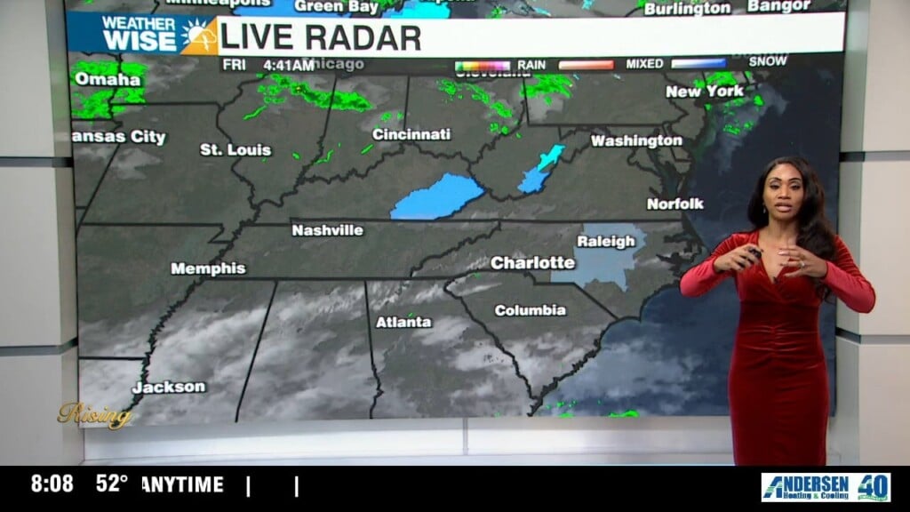
Changes start to arrive Friday

is storm system isΒ expected to arriveΒ Saturday afternoon, thenΒ continue into the evening.Β Location matters on what type of precip. you will see. Parts of the High Country and north of I40 snow will enter to start with the rest of the region seeing sleet.

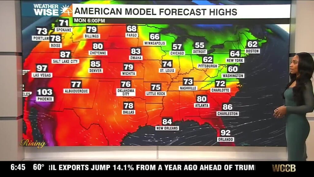
60s tomorrow before a major winter storm

Weekend Winter Storm: Long duration event of sleet and ice This storm has a lot going on, and not all of the details are locked in yet. WhatΒ isΒ clear is that everyone in the area should expect some level of disruption. Freezing rain and sleet could build up on trees and power lines, raising the risk for outages that may be widespread. Roads are also likely to deteriorate quickly, with slick, icy surfaces making travel difficultΒ or even impossible in some spots.