Scattered Storms Saturday, Watching the Tropics
A stalled front will bring scattered showers to the region on Saturday. In the tropics, what will soon become Imelda could impact the Carolinas next week.
Sections
WCCB
Extras

A Charlotte native, Kaitlin graduated from the University of North Carolina at Charlotte in 2015 with a Bachelor’s of Science in Meteorology. Before returning home, her broadcast career took her to Albany, New York; Myrtle Beach, South Carolina; and Pensacola, Florida. From hurricanes and tornadoes to excessive heat and snow – she is knowledgeable about and familiar with a variety of weather conditions.
Kaitlin holds the prestigious AMS Certified Broadcast Meteorologist (CBM) designation from the American Meteorological Society. The CBM is considered the gold standard in broadcast meteorology, recognizing excellence in meteorological expertise and effective communication of weather information to the public.
Kaitlin considers her greatest accomplishment to be motherhood. She and her husband, Ryan, are raising their three young boys, Reece, Holland and Rhodes who keep life busy, fun and full of adventure.
A stalled front will bring scattered showers to the region on Saturday. In the tropics, what will soon become Imelda could impact the Carolinas next week.
One year after Helene tore through western North Carolina, there's one person still listed as missing in Avery County. Jessica Meidinger's family continues to search for answers after their mother was swept away in Elk Park
Scattered showers are forecast to hang across the Carolinas through the weekend. We are keeping a close eye on what could become Imelda soon.
Invest 94L is the designation for the tropical wave that will likely become Tropical Storm Imelda. The forecast is still uncertain, but potential impacts could arrive to the Carolinas early next week.
Forecast: Tonight: Isolated showers in the piedmont with numerous activity in the mountains. Partly cloudy and warm. Lows in the low 70s. Thursday: Partly sunny and breezy. Highs in the upper 80s. PM…
Forecast: Tonight: Mostly clear. Lows in the mid to upper 60s. Wednesday: A summer-like fall day with high temperatures close to 90°. Thursday: Mostly sunny and hot. Highs in the mid…
Forecast: Tonight: Partly cloudy. Lows in the mid 60s. Tuesday: Sunny and hot. Highs in the upper 80s. Wednesday: A summer-like fall day with high temperatures possibly reaching 90°.…
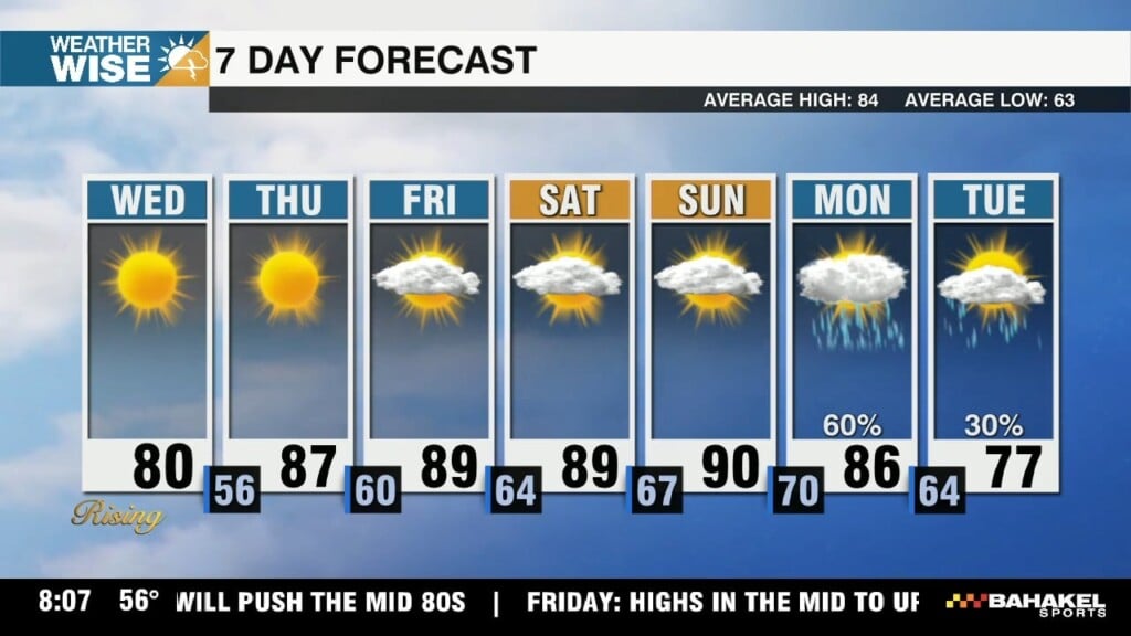
After reaching the low 90s on Friday, the heat will continue to kick off the last weekend of Summer. Rain chances will remain few and far between until late next week.
Temperatures heat back up to 90° to close out the week. Plus, Tropical Storm Gabrielle is expected to stay out over the Atlantic.
Temperatures will warm through the end of the week. Plus, Tropical Storm Gabrielle has formed in the Atlantic.
icons go here