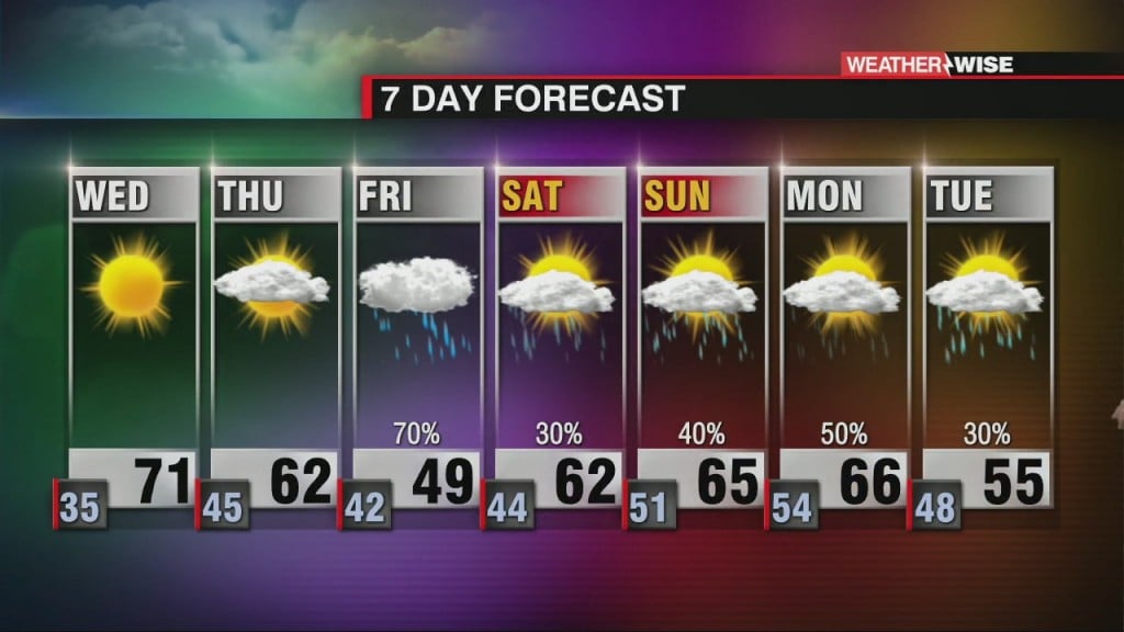
Another Warm & Dry Day Ahead
Another gorgeous day ahead before a late week cool down

Another gorgeous day ahead before a late week cool down

Gradual warming over the next two days with plenty of sunshine.
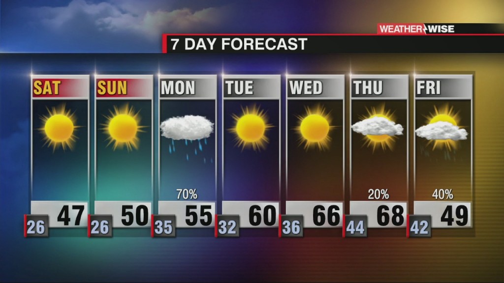
Yay for sunshine and a quiet weekend ahead!
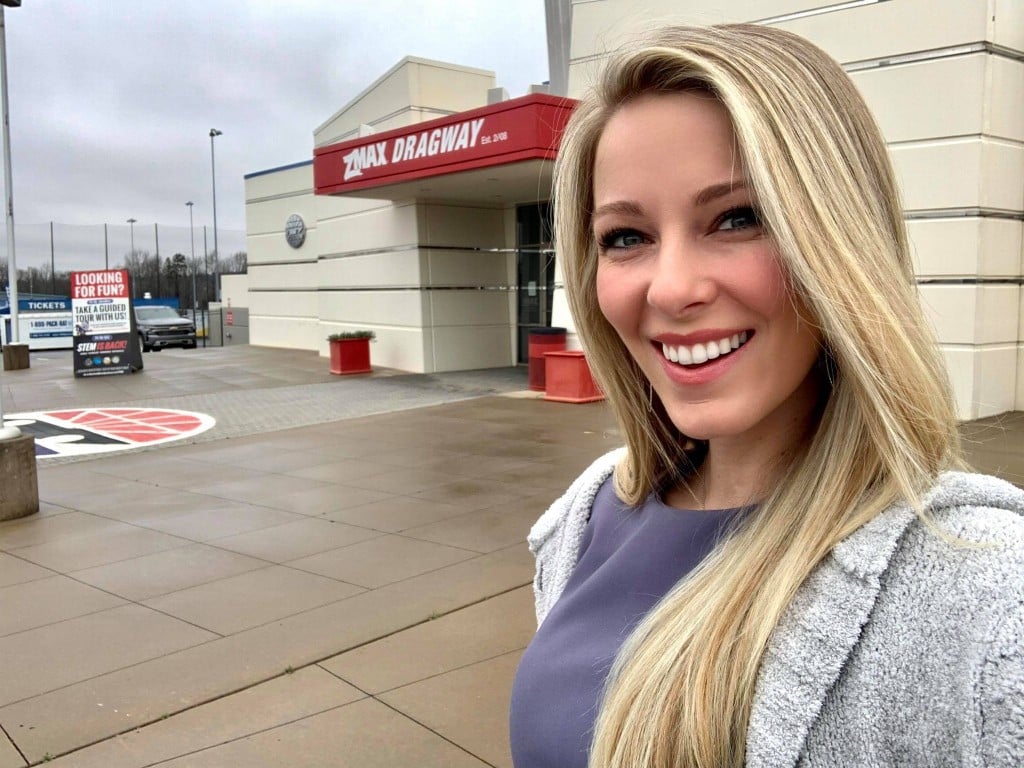
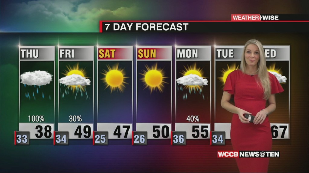
Wet and cold was the name of the game through most of the workweek, but expect changes heading into the weekend. It will still be cool with high temperatures below average as we top out in the near 50° on…
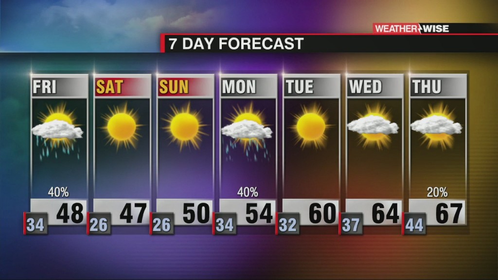
Flash Flood Watch in effect for Richmond, Lancaster and Chesterfield counties until Friday morning. Winter Storm Warning has been cancelled and replaced with a Winter Weather Advisory for Ashe…
Winter Storm Warnings in effect from Rowan county points west across the northern Piedmont, Foothills, and Mountains until 7 PM Thursday. Winter Weather Advisory in effect from Stanly county westward through Cleveland…
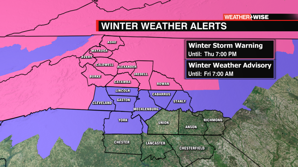
Winter Weather Alerts for Charlotte and much of the WCCB region ahead of Thursday storm.

Winter Storm Watches issued across 1/2 of the WCCB for Thursday. xpect a freezing night ahead with low temperatures below freezing across the WCCB area. Clouds…
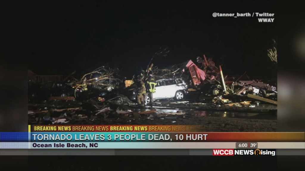
An apparent tornado killed three people and injured 10 others as it struck a coastal North Carolina town, authorities said. It was spawned along the edge of the same weather system bringing bitterly cold temperatures to much of the nation.
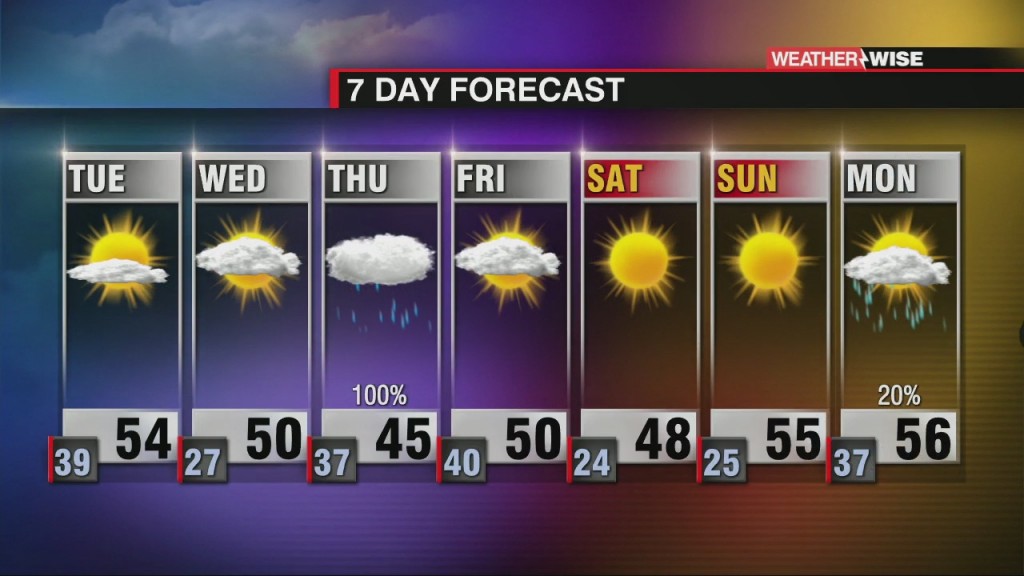
Sunshine returns on Tuesday with another system midweek
 Formerly Twitter