A beautiful stretch worsens the drought
Tracking a dry 5 days ahead
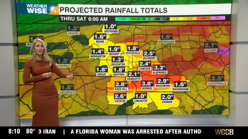
Get ready for the ongoing drought to have another 5 days to get worse as a dry air mass settles into the Carolinas this week. Highs will be comfortable the next 2 days, although get ready for chilly mornings with lows in the upper 30s and lower 40s in the Piedmont and Foothills. We also have a freeze watch in the High Country where lows will get to freezing for many. By the middle of the week, we get back to what the past months have featured, with a warming and dry trend through the end of the work week. Summer temperatures return with a push to the upper 80s by Friday.
This obviously will only bring the drought from bad to worse as we continue the driest start to a year on record in Charlotte history. Remember, due to this, a statewide burn ban is in effect for both Carolinas until further notice! Also, be very mindful when smoking or doing any other activities that could light a spark.
I will end with a sprinkle of hope. We are beginning to enter El Nino, which historically brings rainier patterns to the region. There are signs that could be the case by the last week or so of April onward. We could begin to see more common rain chances as early as next weekend. Given it is April, this could also increase the severe weather threat. The WCCB weather team will make sure to keep you posted!
Tonight: Mostly clear. Low: 41°. Wind: Calm
Monday: Partly cloudy. High 65°. Wind: NW 5-10
Monday Night: Mostly clear. Low: 39°. Wind: Calm
Tuesday: Mostly sunny. High 72°. Wind: Calm
Click here for more news from WCCB Charlotte.