Short-Lived Warm Up, Cold Settles in to End January
AM Headlines:
- Warmest day for the next week
- A few flakes for the mountains today
- Chilly set up the rest of the week
- Coastal storm keeps low-end rain/snow chances late Fri/Sat
Discussion:
Today will be the warmest day we will have for a week. Highs will reach the upper 50s this afternoon ahead of a cold front that will push through the area tonight. A few flakes may fly above 3500′ but, not much else will come from this system precip-wise. Temps will nose dive beginning in the mountains, with the warmest part of the day happening Tuesday morning. The rest of the area will begin the chill tonight with lows falling to the low 30s for the Piedmont. Highs will struggle to get out of the low 40s with an even colder night ahead as temps tumble into the 20s. It will remain cold through the end of the week.
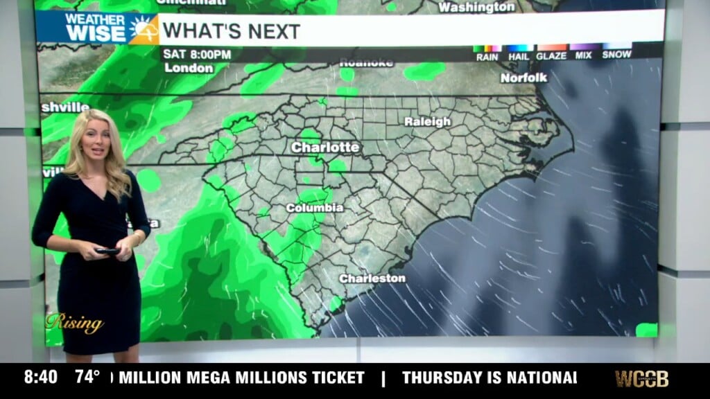
The forecast for the end of the week into the weekend will be interesting – again. This time, however, the timing looks to be in our favor. A disturbance to our south will be pushing north as a cold front approaches from the west. As of now, it looks like the worst of this storm will be taking aim at the northeast with heavy snow looking more and more likely for New England. However, there is still a chance a change from light rain showers Friday to a wintry mix overnight into Saturday. This will all be dependent on any ongoing precip when the colder air arrives to see that changeover take place. We will be watching closely over the next few days. Saturday will be blustery though with temps not getting out of the 30s.