Storms Today, Drying Out Late Week
AM Headlines
- AM Patchy Dense Fog
- PM Showers and Storms
- Lower humidity for the second half of the week
- Typical summertime pattern returns this weekend
Discussion
Scattered showers and storms today
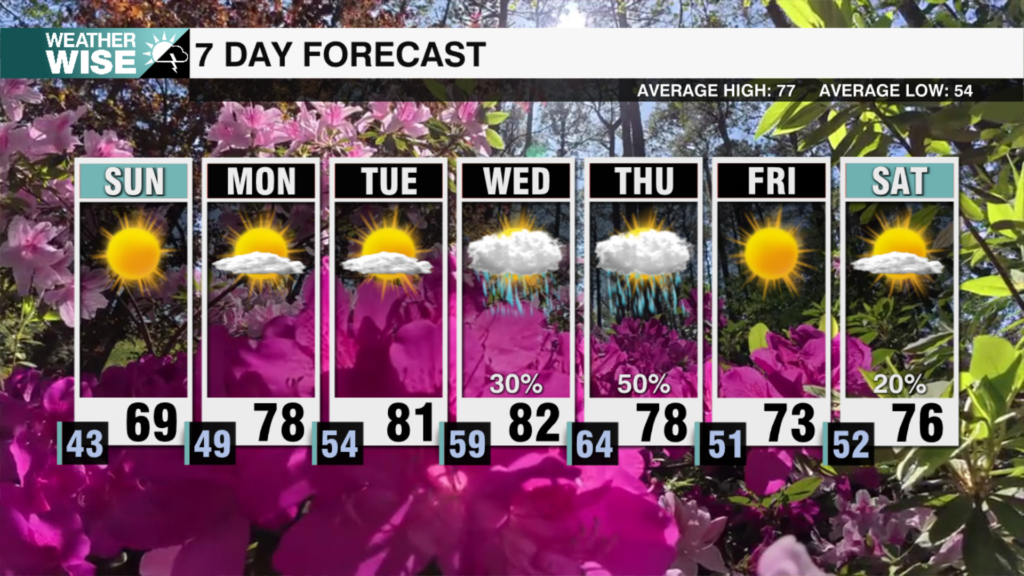
Patchy dense fog and low clouds to start the morning. These will lift over the next few hours. Highs today will reach the low 90s ahead of a cold front. This front will trigger widespread showers and storms for the mountains with more scattered storms across the Piedmont by this evening. Severe threat remains low, and although heavy downpours will be possible, the momentum of these storms will keep storms from stalling.
Less humidity, still hot through late week
Drier air begins to overtake the region Wednesday as surface high pressure sets up over the Carolinas and the front stall off the coast through late week. This will keep rain chances away and help lessen the humidity across the region. Temps will remain a few degrees above average.
Typical Summertime Pattern for the Weekend, Unsettled Early Next Week
Moisture begins to return this weekend as another disturbance approaches the area from the midwest. As of now, rain and storm chances will be more of the summertime variety – hit or miss afternoon storms. Temps will fall back near average in the upper 80s with the return of added moisture to the region. A cold front will bring more unsettled weather to the region by early next week.
Tropics Updates
Central Atlantic Invest 91L – High Chance Development
The tropical wave in the central Atlantic is still something to watch as we get into the Labor Day weekend. However, it will be battling drier air and northwesterly shear over the next few days. The National Hurricane Center is still giving this disturbance a high chance of becoming a tropical depression by the end of the week. If it hangs together it will likely approach the east coast by early next week as it moves north of the Leeward Islands. As of now (and again a lot can change) the east coast will be protected by an upper trough off the coast which will help turn this storm back away from the coast. But, again, this is something we will need to monitor closely because a lot can change over the next few days.
Eastern Atlantic – Medium Chance Development
Another area to watch is off the African coast. It has a medium chance of becoming a tropical depression over the next few days bringing heavy rain to the Cabo Verde islands. However, any development would be short-lived as this disturbance will be moving over cooler waters, stunting any additional growth.


