Summer Surges Back For Now
A slow-moving cold front finally pushes through by Wednesday, but the sticky heat holds firm until then.
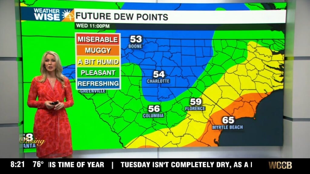
After rain and clouds made it difficult for most to get out of the 60s and 70s Monday, the heat is back on heading into midweek. Expect highs in the mid-to-upper 80s in the Piedmont both Tuesday and Wednesday, while the High Country settles into the 70s. Mostly cloudy skies continue into our second day of the workweek, but limited shower/storm coverage and *slightly* more sunshine will keep highs above average for now. A slow-moving cold front finally pushes through the Carolinas by Wednesday morning, bringing cooler air for the back half of the week. Higher rain chances begin on Thursday and carry into the weekend.
Tropical Storm Earl continues to strengthen and is forecast to become our first major hurricane of the year by the end of the week. Earl is on a northerly track right now and should hit Bermuda with a glancing blow before turning northeastward out to sea. Therefore, no direct impacts will occur in the Carolinas. A higher rip current risk lies through the coming weekend along the coast.
Tuesday: Variable clouds. Steamy with a few storms. High: 88°. Wind: W 5-10.
Tuesday Night: Storms early, then partly cloudy. Low: 71°. Wind: Light.
Wednesday: Warm and muggy. PM isolated storms. High: 88°. Wind: N 5-10.
Wednesday Night: A few storms, then some clearing. Cooler. Low: 69°. Wind: NE 5-10.
Thursday: Mostly cloudy with some drizzle. Low: 82°. Wind: NE 5-10.