Smokin’ Start to Weekend, Arlene Forms in Gulf
Rain chances and cooler air arrive in the form of a backdoor cold front on Sunday.
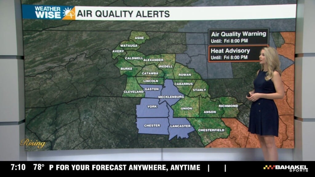
Happy Friday! Temperatures continue to swell into the first weekend of June despite winds out of the north and east. It’s not guaranteed, but the Charlotte area has a good shot at cracking 90° for the first time in 2023 this Saturday. Regardless, expect a hot and sunny day across the board for our third day of the month. A pattern change arrives in the form of a backdoor cold front by Sunday. Rain chances remain in the isolated range overnight Saturday into Sunday, but a few showers and storms could be on the heavy side. Highs will cool into the 60s and 70s as we close out the weekend.
The first full week of June will get off to a mainly sunny start, although pop-up storms could be an issue in the afternoons. Highs will return to summer-like values through midweek in the 70s and 80s. Another cold front arrives by the back half of the week ahead, but temperatures should largely remain near normal. Down south, Tropical Storm Arlene has formed in the Gulf. The fledgling system will saunter southward before dissipating near Cuba.


Tonight: Mostly clear. Comfy. Low: 60°. Wind: Light.
Saturday: Mostly sunny. PM isolated storms. High: 90°. Wind: NE 5-10.
Saturday Night: Showers and storms early, then mostly cloudy. Low: 62°. Wind: NE 5-15.
Sunday: AM cloudy. PM partly sunny and cooler. High: 76°. Wind: NE 10-20. Gusts: 25+