Brief Relief From Active Pattern
Another powerful rainmaking system sweeps into our area on Friday.
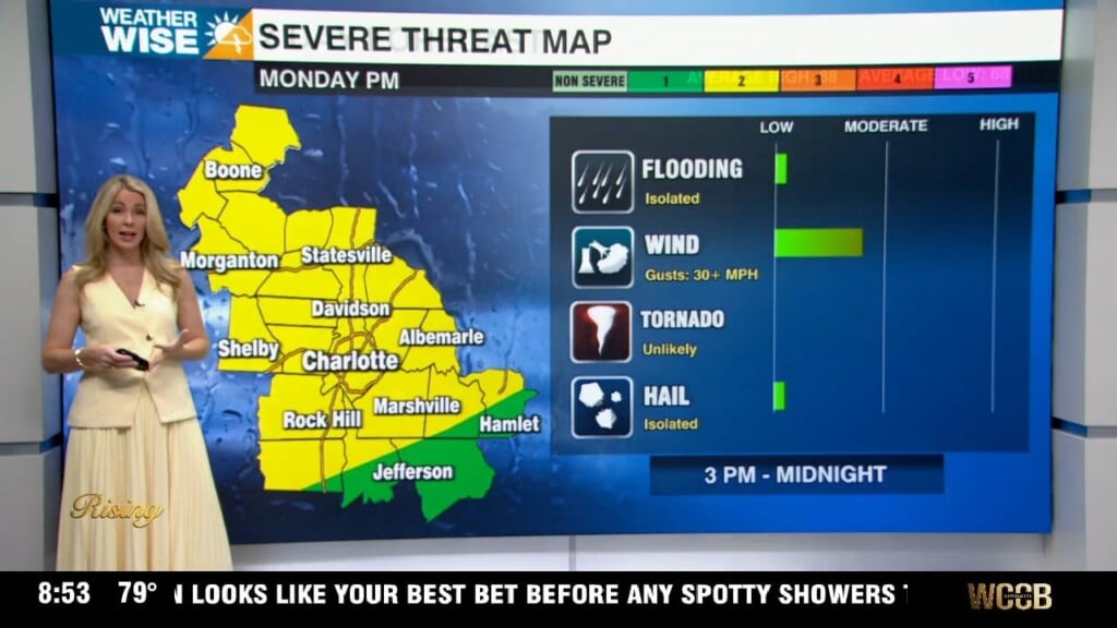
After yesterday’s damaging and deadly storms, a much-needed break arrives on this Hump Day. Sunny skies and much cooler highs set up shop across the Carolinas this afternoon as temperatures peak in the 40s and 50s. Breezes will still be on the stiff side at times as gusts approach 30 mph. Northwesterly flow snow began late last night in the High Country and will continue through the morning; totals will end up around an inch or two at the highest. Expect a second quiet day on Thursday before things get messy again heading into the final day of the workweek.
Another powerful rainmaking system will be on our doorstep on Friday. While the severe potential doesn’t look quite as high as Tuesday’s, a few gusty showers and storms will pack a punch. The main threat with this incoming system will be wind, although locally heavy rain will be something to watch for. An isolated tornado is also a small, but existent, possibility. Much colder and drier air filters in by the weekend. Next week’s pattern will be a favorable one for wintry weather, although nothing looks like a shoo-in right now.
Today: Brisk sunshine. AM mountain snow. High: 50°. Wind: SW 10-20. Gusts: 25+
Tonight: Clear and cold. Low: 32°. Wind: SW 5-15.
Thursday: Sunny. Noticeably warmer. High: 57°. Wind: SW 5-10.
Thursday Night: Clear and cold. Low: 34°. Wind: Light.
Friday: Clouds build. PM gusty showers. High: 60°. Wind: SE 5-15. Gusts: 20+