Spring Surges Into Carolinas
A series of storm systems roll through the Southeast by the end of the week, but we'll largely remain dry over the next few days.
Meteorological spring got off to a chilly and soggy start, but warmer and drier air has taken over our area in time for March’s first weekend. Even more warmth heads our way as we close out the weekend. Patchy fog and mostly cloudy skies will keep us seasonably mild in the 40s and 50s to kick off our Sunday. Short-range models have trended sunnier by Sunday afternoon which should allow for scattered highs in the 70s across the Piedmont and Foothills; the High Country should end up near 60°.
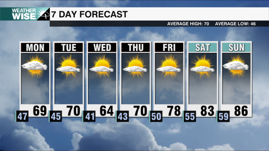
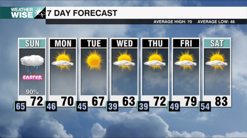
A weak area of low pressure will ride up the Carolina coastline to kick off the workweek, which could lead to a stray shower or two east of the Metro through Monday’s first half. Highs may also end up a bit cooler thanks to more clouds and winds out of the northeast. The 70s will return for many outside of the mountains as winds re-position out of a more southerly direction. The second half of the week looks messy. A series of storm systems roll through the Southeast as we move into the second half of the week. We’ll want to stay weather-wise on Wednesday and Friday, in particular, for severe weather potential. Next weekend is trending cooler behind Friday’s system.
Tonight: Mostly cloudy. Patchy fog late. Low: 50°. Wind: Light
Sunday: Some fog early, then partly sunny. Warm. High: 72°. Wind: SE 5-10.
Sunday Night: Mostly cloudy with a stray shower E. Low: 54°. Wind: Light
Monday: A stray shower early, then partly cloudy. High: 68°. Wind: NE 5-10.


