Morning Fog With Increasing Clouds
Mostly dry Tuesday before rounds of rain
Forecast:
Tonight: Patchy dense fog. Partly cloudy. Lows: Mid 40s.
Tuesday: AM fog. Highs low 70s. Partly sunny with increasing clouds. Isolated showers possible later in the evening.
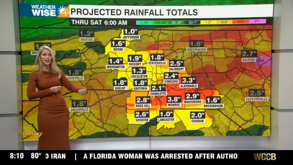
WeatherWise Alert Wednesday: Breezy, wet and cooler. Expect widespread rain through the first half of the day. A brief break in the afternoon is possible – this is where we would need to watch out for isolated storms. Showers move back in as the low pressure moves over us. Highs in the low 60s. Rain totals: 0.50” – 1”
Thursday: Mostly sunny and nice. Highs near 70.
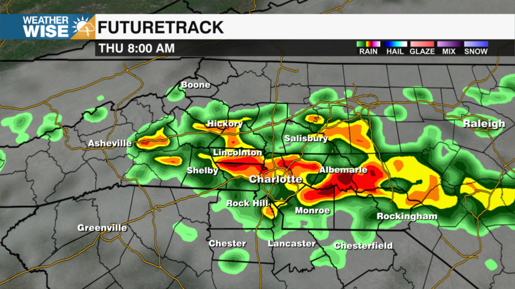
Friday: This could become a WeatherWise Alert day. We need to watch for changes in the timing for this late week system. As of Monday afternoon, a few showers are possible during the day. Clouds will increase with rain becoming more numerous in the evening.
WeatherWise Alert Saturday: Round two of widespread rain. Rain totals: 1” – 2”. Wednesday’s rain could set the stage for more of a flood threat Friday into Saturday. With saturated ground and another couple inches of rain, flooding is possible. Highs in the low 60s.
Have a wonderful week!