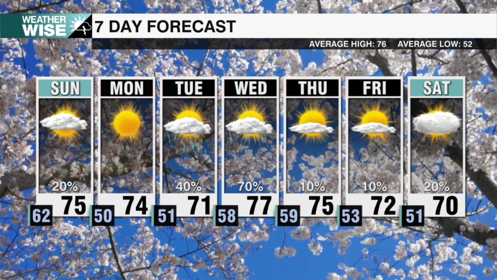
Soak Up The Sun Now, Rain Chances On The Rise Late Week
AM Headlines:
- Soak Up the Sun Now
- Francine’s Widespread Impact
- Peak of Atlantic Hurricane Season
- Cooler, Wetter Weekend
WeatherWise Alert:
Thursday PM – Saturday
Heavy Rain possible for the mountains & foothills courtesy of Francine
2-4″ for the mountains/foothills
Up to 1-2″ for the Piedmont
Discussion:
High pressure remains parked over the Carolinas keeping our forecast calm, quiet and beautiful today and tomorrow. Highs will reach the low to mid 80s under sunny skies with low humidity. Some morning fog may develop in the mountains and foothills, but it will burn off early in the day. The big shift arrives Thursday as moisture from Tropical Storm Francine enters the picture. Francine will make landfall well to our west Wednesday in Louisiana, but it will still have an impact on our forecast locally. Tropical moisture will spill into the southeast as Francine slowly moves northward into the Lower Mississippi River Valley.
Clouds will begin to fill in Thursday with scattered showers beginning to pop up late in the day. By Friday into the weekend the remnants of Francine will drift north into the Mississippi Valley with moisture continuing to push into the Carolinas. This is when we’ll see the heaviest and most steady rain with 2-4″ for the mountains and foothills and up to 1-2″ for the Piedmont. Not only will we be dealing with the funnel of moisture from the Tropics, a wedge will likely set up trapping the cooler air and locking in the moisture over the region.
Localized flooding for the mountains especially may be a concern and will be something to watch over the weekend.
Tropical Storm Francine 2am Update:
September 10 marks the peak of Atlantic Hurricane season. Historically about 80% of tropical activity occurs between August and October, with early to mid September being the most active. Francine is likely to strengthen into a hurricane today. It will continue to strengthen in the warm waters of the Gulf before making landfall in Louisiana Wednesday.
Current:
125 mi SSE of Rio Grande, 425 mi SSW of Cameron, LA
65 mph sustained winds
Moving NNW 5 mph
Warnings
Hurricane Warnings – Sabine Pass to Morgan City, LA
Tropical Storm Warnings – Along the Texas, LA, Mexico Coasts
Storm Surge Warnings – High Island, TX to the mouth of the Mississippi River
Impacts
Storm Surge – Up to 5-10 ft for Coastal LA
Wind – Hurricane force wind expected along the LA coast by Wednesday
Rainfall – 4-8 inches, isolated up to 12 inches with a flash flooding risk
Surf – Life threatening rip currents and surf along the Gulf Coast


