Tracking Rain Heading into the Weekend
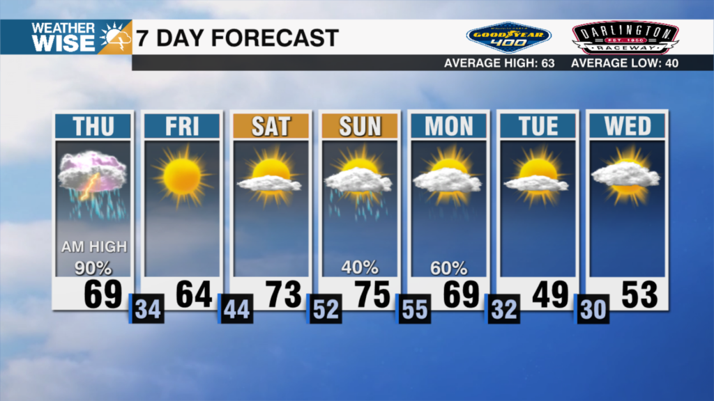
Near record warmth Friday
January continues to feel more like spring, with tonight remaining on the cloudy side and overnight lows staying in the lower 50s.
As we head into Friday expect a mix of sunshine and clouds, with afternoon highs in the upper 60s to low 70s. Temperatures will depend on cloud cover. More sunshine could push highs into the low to mid-70s, while extra clouds may keep things closer to the upper 60s. I’m sticking with tomorrow being our best chance of beating a record for Charlotte Metro. A few spotty showers are possible late Friday afternoon and evening, but many areas stay dry. Southwest winds will keep the mild air in place overnight, with lows in the 40s to near 50 degrees.
Saturday:
Saturday turns more unsettled. Clouds increase with scattered showers and a few thunderstorms possible, especially by mid-day. The Storm Prediction Center has issued a Marginal Risk for severe storms on Saturday, meaning there is a very low-end chance for an isolated strong storm. At this time, I don’t see them upgrading this. What we will stick with is a minor delay is possible for the game due to lightning. Rain will be heavy at times for the High Country but it will lose its integrity as it pushes towards the east. Winds ahead of this front will make a statement with likely wind alerts to go into place.
I know the focus has been on Saturday but the real shock to the system happens Sunday with daytime highs falling nearly 20 to 25 degrees.


