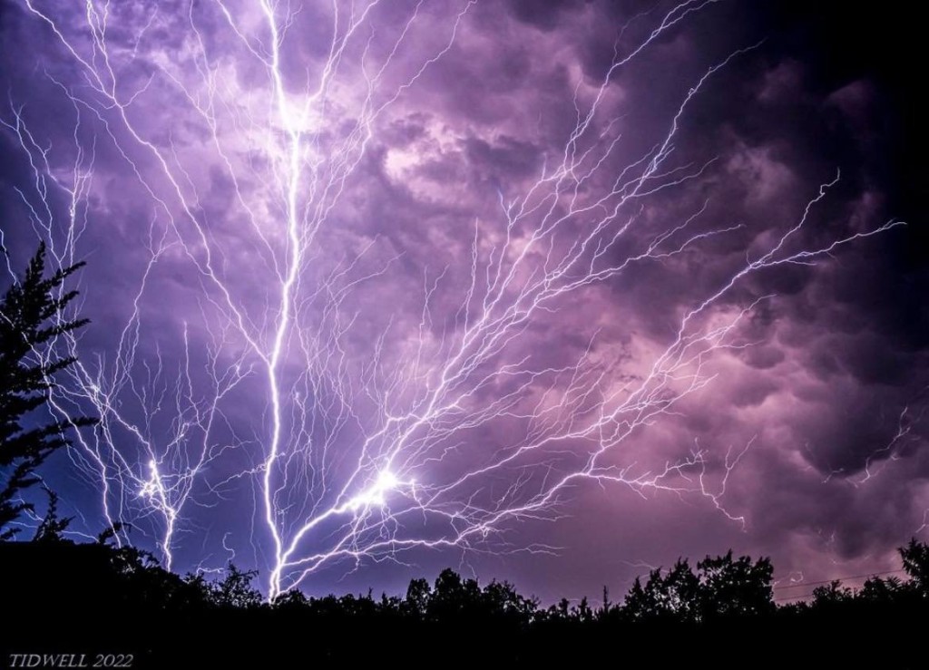
Tracking Rain and a Few Storms Saturday
Heaviest Rain in the Mountains The steadiest and heaviest rain will fall across the mountains, with these areas seeing 1 to 2 inches of rain, with a few isolated spots pushing closer to 3 inches. Even with those higher totals, flooding concerns remain low since the region has been very dry recently. Outside of the mountains, rainfall amounts will generally range from about a half inch to one inch. Any Severe Weather? While the atmosphere will have strong winds, there won’t be much energy near the ground to support widespread severe storms. Because of that, most storms should stay below severe limits. One isolated stronger storm can’t be ruled out, mainly along and south of the I-85 corridor, where a little more instability may develop. All in all, severe weather is not expected to be widespread or long-lasting. Showers will taper off fairly quickly Saturday evening as the cold front moves east of the area.