Increasing Clouds Saturday with Rain/Snow/Ice on Sunday
Cool and dry for the first half of the weekend, but cold and wet for the second half.

Cool and dry for the first half of the weekend, but cold and wet for the second half.
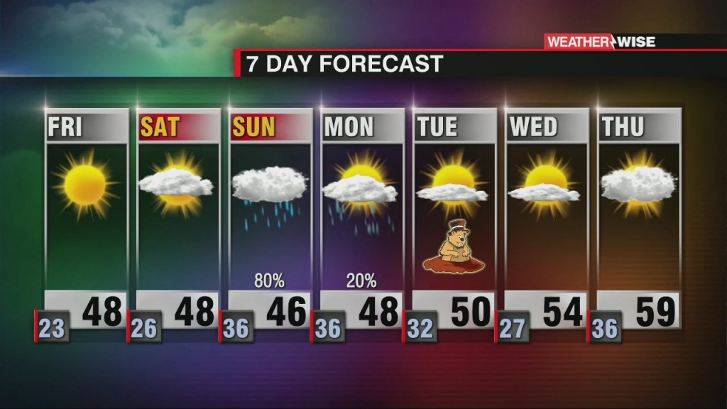
Cool, dry and clear will be the name of the game through the first half of the weekend.
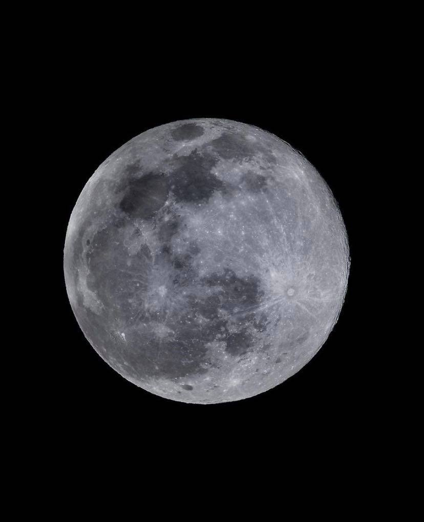
The moon will quickly change to a third-quarter moon by February 4th.

Weekend Weather View with Kaitlin Week 2 in Charlotte.
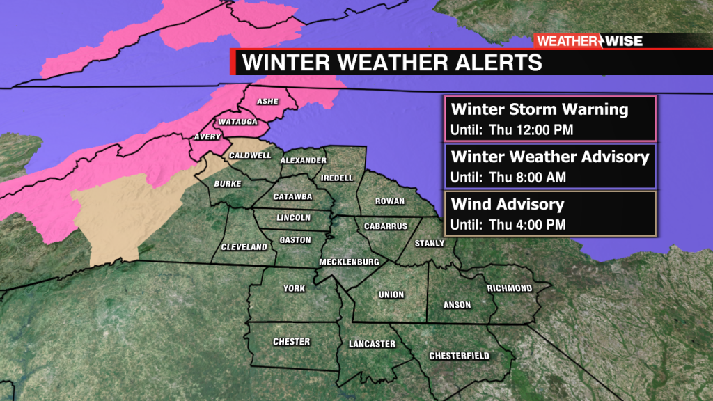
Winter Storm Warning in effect for the High Country.
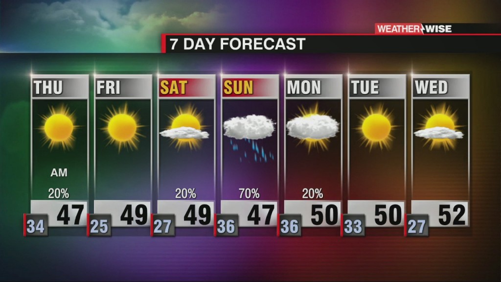
More rain on tap with some snow for portions of the WCCB area.
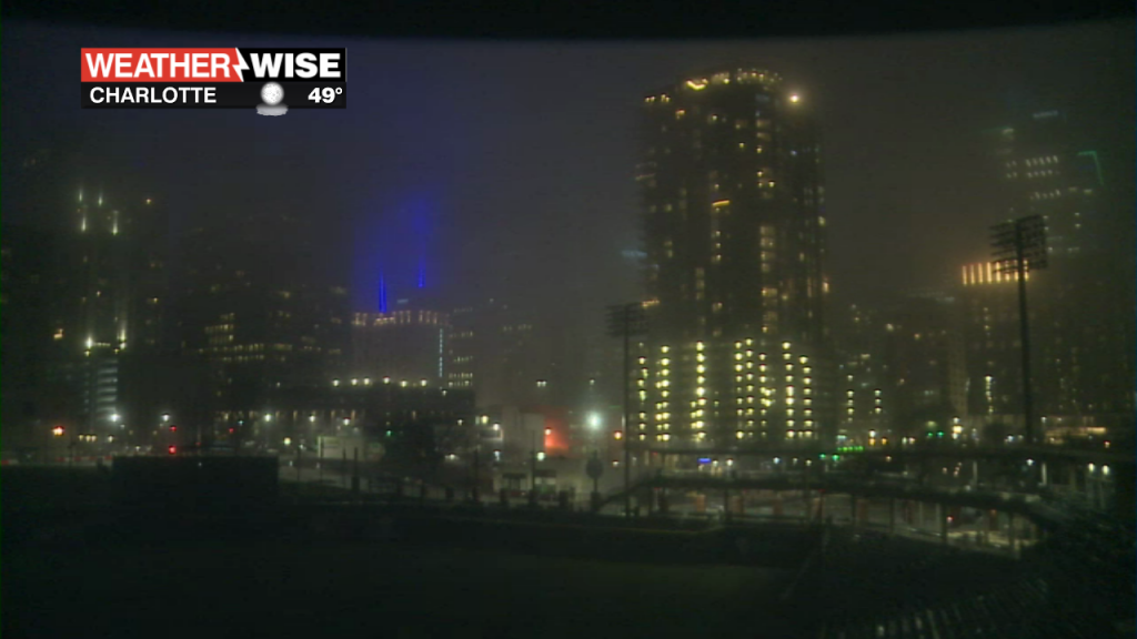
Dense Fog Advisory now in effect across the area until 7 AM. Take it easy on the roads this evening, overnight, and Wednesday morning. As of 7 pm Tuesday - the visibility is already reduced to 1/4 mile across the…
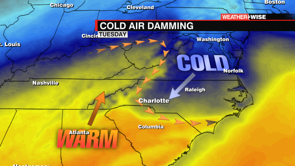
The wedge, scientifically known as cold-air damming (CAD)
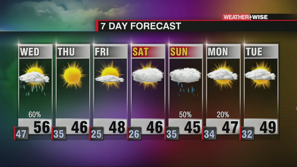
More rain on tap with some snow for portions of the WCCB area.
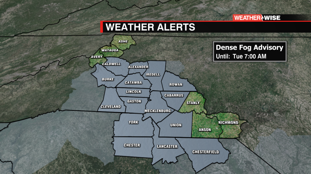
This is the current view from WCCB Charlotte around 5:15 pm Monday. We can usually see uptown, but not today! Dense Fog Advisory now in effect across the area until 7 AM. Take it easy on the roads this…
 Formerly Twitter