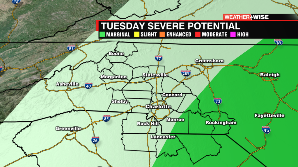
Increasing clouds with less humidity Tuesday
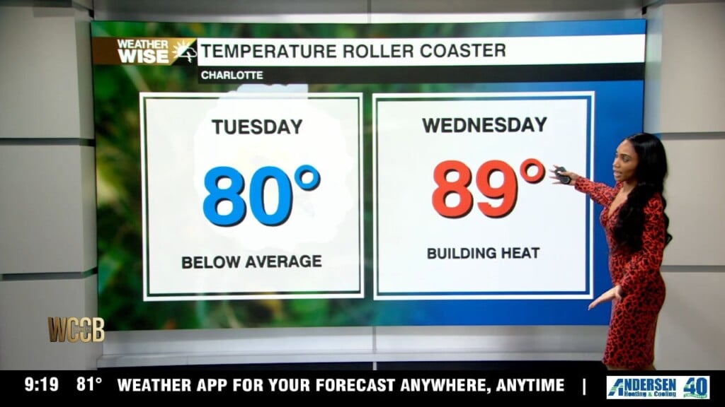
Tomorrow, we'll notice a few more clouds moving into the area. While a stray shower can't be ruled out, the better chance for any rain will stay south of Charlotte, and even their coverage looks very limited. For most of us, it remains dry with temperatures staying a little more comfortable thanks to the added cloud cover. Tuesday may end up being one of the more pleasant days of the week before the summer heat ramps back up. Highs tomorrow will be much cooler into the lower 80s.