Hot Streak Continues
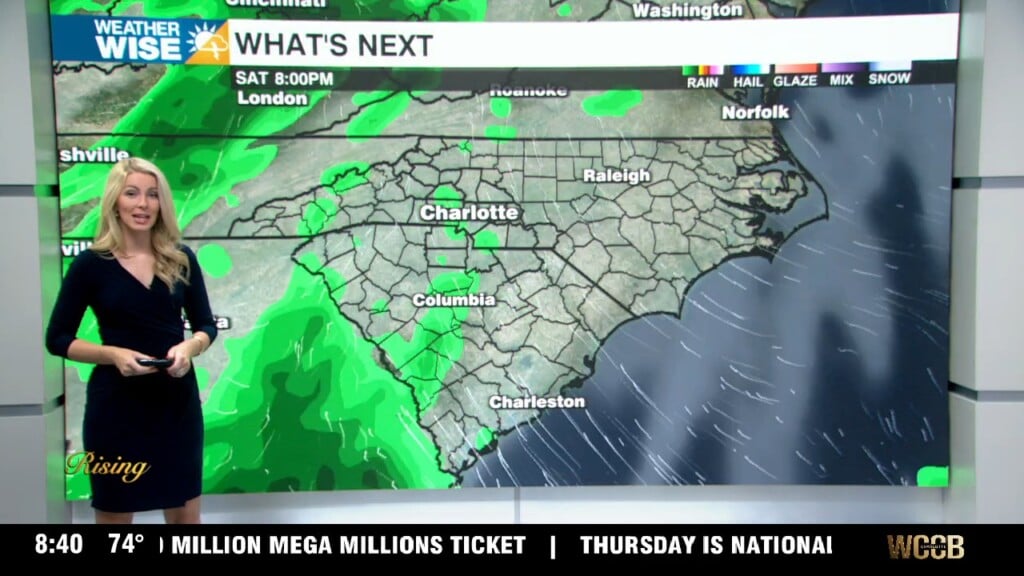
Hit-or-miss pop-up storms during the afternoons will be our only relief from the continuous heat.
Another day, another 90º high! With today’s heat, we cracked the 90º mark for the 13th straight day here in the Charlotte area. For you fall- and winter-lovers, unfortunately, there is no relief in sight, as each of the next days are expected to be at or above 90º. Our only relief during the afternoons ahead will be in the form of random pop-up showers and storms, which could be heavy at times.
Meanwhile, out in the eastern Atlantic, we have newly formed Tropical Storm Gonzalo, which is chugging westward towards the Caribbean. While it is too early to tell exactly where the fledgling storm is headed, interests on the Gulf and East Coast of the United States should keep an eye on it. In addition, an organized area of thunderstorms in the Gulf is likely to become a tropical storm within the next couple of days. This storm would be given the name Hanna and is expected to make landfall somewhere along the west-central Gulf Coast.
Tonight: Partly cloudy. Slight storm chance. Low: 73°. Wind: SW 5-10.
Thursday: Hot again. PM storms, strong at times. High: 92°. Wind: SW 5-10.
Thursday Night: Scattered storms early, then mostly clear. Low: 73°. Wind: Light.
Friday: A bit cooler. PM scattered storms. High: 90°. Wind: SW 5-10.