Torrid Temperatures Take Over
Factoring in humidity, it could feel like 100° or hotter this week around the Metro and southeastward.
We just saw our hottest day in the Metro in over a week on Monday, and there’s plenty more where that came from. In fact, the remainder of the week looks just as hot, if not hotter, as a classic summertime pattern takes hold of the Carolinas. A dome of tropical high pressure has set up shop over the Southeast, keeping both humidity levels and temperatures high while keeping organized rainmaking systems at bay for much of the week ahead. Expect highs in the 80s and 90s with only afternoon pop-up storms to cool us down.
Meanwhile, the Atlantic is poised to develop its sixth tropical storm of the year. An area of storms over the Leeward Islands has been designated as Potential Tropical Cyclone 6 by the National Hurricane Center (NHC). This system should become Tropical Storm Fred within the next 12 hours. Right now, the track of the storm takes it over the northern Caribbean before turning northward into the Gulf by the weekend, much like Hurricane Elsa did earlier this year. We’ll need to watch future Fred carefully heading into next week.
Tuesday: Hot & humid with PM scattered storms. High: 93°. Wind: SW 5-10.
Tuesday Night: Storms early, then partly cloudy. Low: 73°. Wind: SW 5-10.
Wednesday: Another hot one. Scattered storms later in the day. High: 93°. Wind: SW 5-10.
Wednesday Night: Storms taper off early. Mild and muggy. Low: 73°. Wind: SW 5-10.
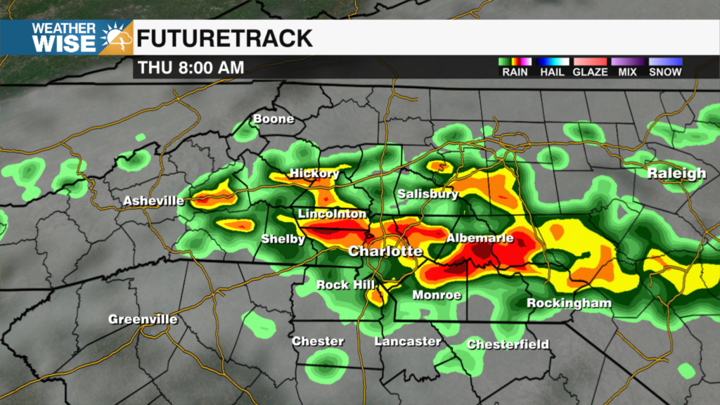
Thursday: Remaining steamy. PM isolated storms. Low: 91°. Wind: SW 5-10.