Drier and Much Colder Weekend After Friday Soaking Rain
AM Headlines:
- Messy AM Commute
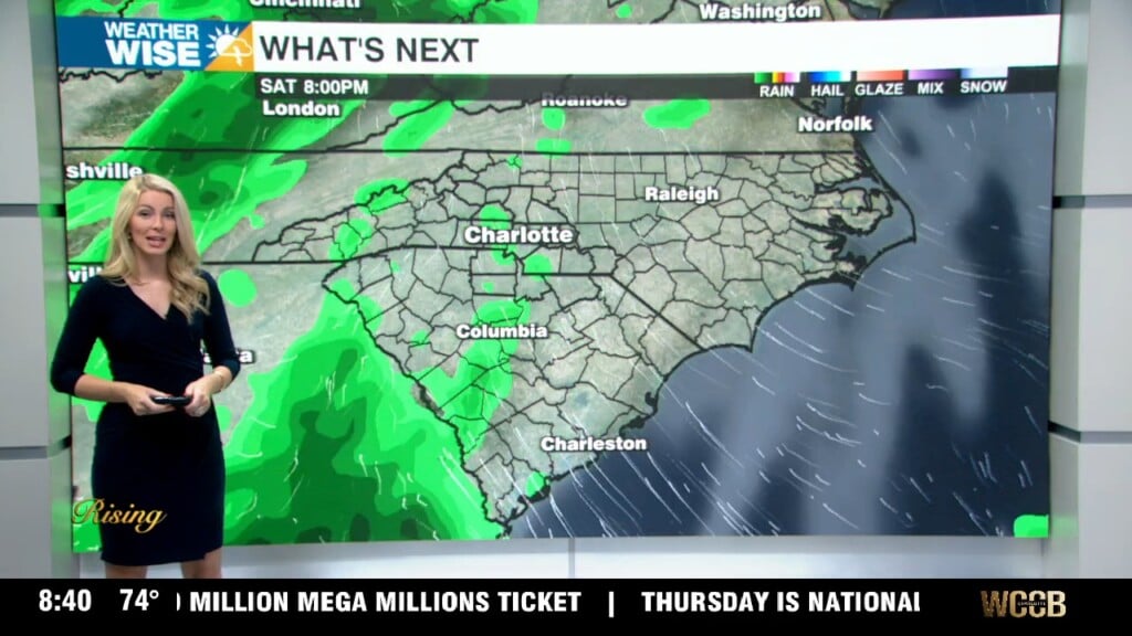
- Steady Showers with a few pockets of heavy rain through the afternoon
- Breezy w/ gusts up to 30 mph possible
- Brief change to snow for the mountains tonight
- <1″ Possible
- Much colder tonight and for the weekend
- Rain chances return Monday
Discussion:
It is a sloppy start with steady showers across the region. A few pockets of heavier rain will be possible, but stormy weather looks to be limited to areas south of the region today. It will be breezy with winds out of the SW 10-15 mph and gusts up to 30 mph possible. A weak wedge that is still draped over the northern Piedmont will erode ahead of this cold front and allow temps to climb into the 60s by early afternoon. After the front passes, the rain will end and temps will drop quickly. Expect showers to end from the northwest to the southeast from lunchtime to early evening. Another 1/2″ to 3/4″ of rainfall will be possible. There is a chance for a brief snow shower in the mountains tonight, but with dwindling moisture snowfall totals won’t be any higher than 1″. Cold tonight with temps falling near freezing. It will be dry and cold this weekend as high-pressure gains control of the region with daytime highs not getting out of the mid to upper 40s Saturday and Sunday. Another shot at rain comes Monday. Temps will warm back to seasonable highs by Tuesday.