Highs Rise, Clouds & Showers in Hot Pursuit
Rainfall totals will end up between 1-3" for most communities through Tuesday morning.
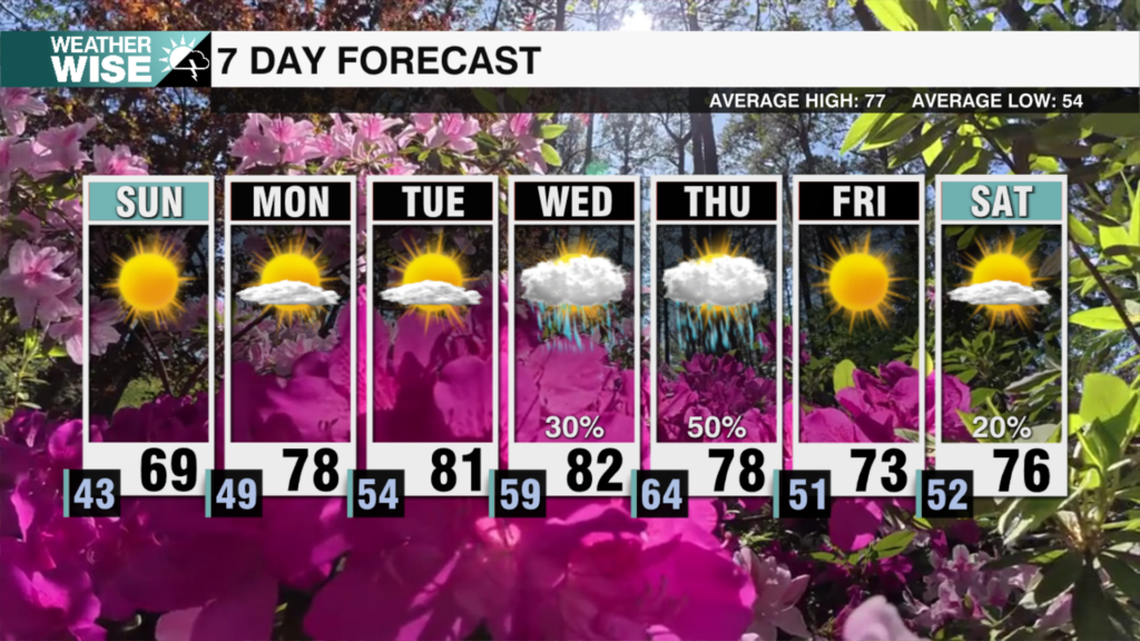
Spring-like temperatures will return as we close out the first full workweek of February, but our time in the sun is coming to an end. Expect highs this afternoon to top out near 60° in the Piedmont and Foothills while the High Country enjoys mid-to-lower 50s. Plentiful sunshine greets us to start our Thursday before widespread cloud coverage arrives by the evening. Temperatures continue to rise into Friday despite overcast skies and a few isolated showers. Unfortunately for our outdoor weekend plans, the rain will only just be getting started at this point.
A sluggish but moisture-laden rainmaking system approaches from the west by Saturday morning, likely stalling over our area as it struggles to move east of the Appalachians. The first half of the weekend doesn’t look like a washout – but it won’t exactly be pleasant, either. Clouds and scattered showers will increase in frequency throughout the day as highs approach 70° around the Metro and southward. The wet trend continues into Sunday as temperatures begin to cool thanks to winds shifting to a more northerly direction. A second system will ride along the stalled boundary and bring even more rain to the Carolinas as we kick off the new workweek before clearing arrives by Tuesday afternoon. 1-3″ of rain will likely fall across the WCCB Charlotte viewing area through Tuesday morning, most of which will come on Sunday and Monday.
Today: Clouds build. High: 59°. Wind: SW 5-10.
Tonight: Cloudy and cool. Low: 42°. Wind: SW 5-10.
Friday: Overcast with a few stray showers. High: 61°. Wind: SW 5-15.
Friday Night: Clouds remain. Stray shower? Low: 53°. Wind: SW 5-15.
Saturday: Mostly cloudy with scattered showers later in the day. High: 70°. Wind: SW 10-20. Gusts: 25+


