Warm workweek ahead
Highs may approach the upper 70s in the Queen City by the end of the week.
Happy Presidents’ Day! If you needed another reason to be distrustful of groundhogs, this week will be happy to oblige. Highs top out near 60° across the Piedmont & Foothills this holiday Monday as sunny skies take hold of the Carolinas after yesterday’s widespread rain. Expect another round of fog overnight into Tuesday morning with lows in the 20s & 30s across the board before temperatures return to the mid-60s in the afternoon. More clouds will build into the WCCB Charlotte viewing area on Wednesday as high pressure loosens its grip on the Southeast, but temperatures will continue to swell deeper into the 60s, fueled by strong southwesterly flow.
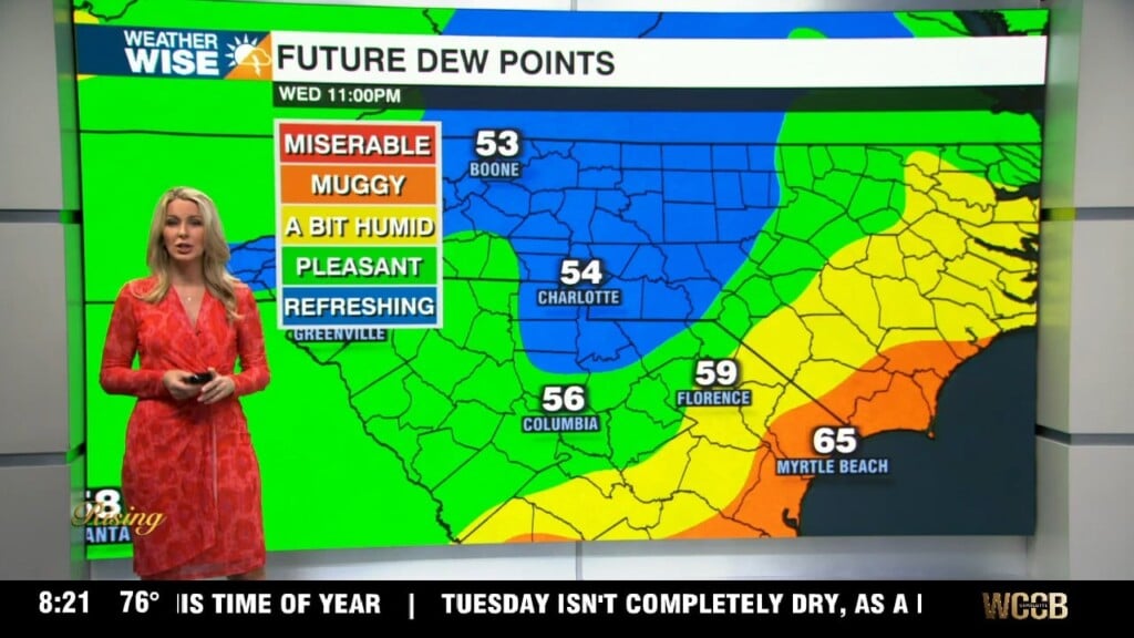
There’s general model agreement that we could see a few stray/isolated showers on Wednesday and Thursday as a rainmaking system approaches from the west, but there’s higher uncertainty as to what exactly happens on Friday and Saturday. The European model brings the bulk of the rain chances on Friday, keeping the weekend ahead dry; the American model keeps opportunities for scattered showers and storms around through Saturday. Regardless of what happens in the moisture department, the warmest air we’ve seen so far in 2026 should arrive by the end of the week, as highs surge into the mid-to-upper 70s on Thursday & Friday.
Monday: AM fog. PM sunshine. High: 62°. Wind: NE 5-15. Gusts: 20+
Monday Night: Variable clouds. Fog late. Low: 37°. Wind: Light.
Tuesday: AM fog. PM mostly sunny. High: 66°. Wind: SW 5-15.
Tuesday Night: Clouds build. Very mild. Low: 51°. Wind: SW 5-15.
Wednesday: Mostly cloudy. Breezy and mild. High: 66°. Wind: SW 10-20. Gusts: 25+