Janessa Webb

Email Janessa

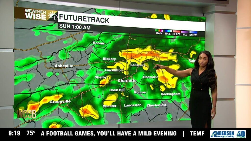
Nationally recognized Meteorologist Janessa Webb brings her passion for weather and storytelling to the WCCB Charlotte WeatherWise team, where she delivers accurate and engaging forecasts every weekday evening at 9 and 10 p.m.

Born and raised in Anchorage, Alaska, Janessa’s passion for extreme weather began at an early age and has guided her through an extensive career in both national and local television. She returned to North Carolina after nearly four years in Washington, D.C., where she built a weather department from the ground up and served as Chief Meteorologist for several leading broadcasts.

Before that, Janessa was a Meteorologist for NBC News and MSNBC in New York City, appearing on programs such as Early Today, Morning Joe, NBC Nightly News, and The 11th Hour with Brian Williams. She also filled in for Al Roker on TODAY and previously served as a weekday meteorologist for WEWS-TV in Cleveland, Ohio. Webb spent her early years as a meteorologist in Anchorage, Alaska, at KYUR and KTVA for nearly nine years.

Webb is a member of the National Weather Association, The American Meteorological Society, the National Association of Black Journalists. Webb has served as a mentor to young journalists throughout her career and believes strongly in giving back to the community.

When Webb isn’t tracking the weather, her faith and family remain the center of her life and foundation. She also has a passion for teaching and is a certified hot yoga instructor and personal trainer, she embraces an active lifestyle and loves a good adventure.

Articles

Clear and quiet tonight with record warmth Thursday

​Thursday once again high pressure will keep the sunshine going​ and above average temperatures. Afternoon highs will climb into the upper 80s​ to near 90°, ​w​ith record highs likely by late afternoon.

Summer Heat To Fall Chill

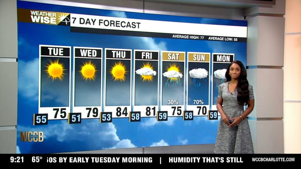
No weather worries as we head through Tuesday evening! We'll keep things nice and dry across the region and the surrounding communities. Skies will stay mostly clear overnight, setting us up for another beautiful, sunny start Wednesday morning. Lows fall into the mid 50s

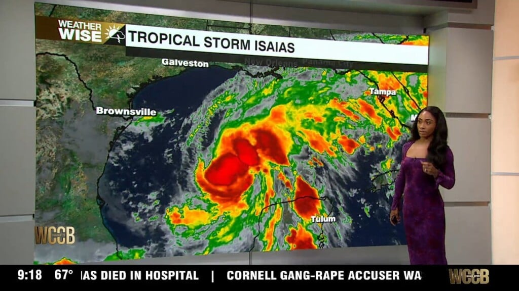
Tracking the latest with Hurricane Isaias

Friday will be our transition day. We'll still have some sunshine, but clouds will become more noticeable throughout the day, and temperatures will top out in the upper 70s. An east-northeast breeze will bring in cooler air, so it won't feel quite as warm as the past few days.

Tracking tropical moisture this weekend

Tonight will be quiet and comfortable across the area. Temperatures will steadily fall under clear skies, with light winds keeping things calm. Lows will continue to be in the upper 40s and 50s.

Clear night with more sunshine this week

Tuesday brings a noticeable change! Drier air will move in behind the recent front, giving us a much more comfortable afternoon. Look for plenty of sunshine with highs climbing into the mid-70s.

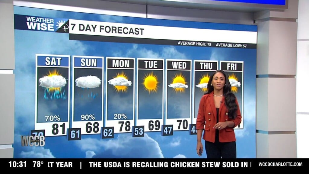
Multiple rounds of rain this weekend with localized flooding possible

Enjoy the first part of Saturday because the weather will gradually go downhill. Clouds will build, and by the afternoon, heavy rain and a few storms will dominate the forecast. A widespread severe weather setup isn't expected, but some of those showers could produce some heavy downpours in a short amount of time. The worst of the storm will be Saturday night into the start of Sunday.