Janessa Webb

Email Janessa

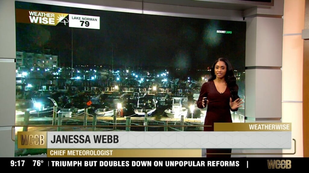
Nationally recognized Meteorologist Janessa Webb brings her passion for weather and storytelling to the WCCB Charlotte WeatherWise team, where she delivers accurate and engaging forecasts every weekday evening at 9 and 10 p.m.

Born and raised in Anchorage, Alaska, Janessa’s passion for extreme weather began at an early age and has guided her through an extensive career in both national and local television. She returned to North Carolina after nearly four years in Washington, D.C., where she built a weather department from the ground up and served as Chief Meteorologist for several leading broadcasts.

Before that, Janessa was a Meteorologist for NBC News and MSNBC in New York City, appearing on programs such as Early Today, Morning Joe, NBC Nightly News, and The 11th Hour with Brian Williams. She also filled in for Al Roker on TODAY and previously served as a weekday meteorologist for WEWS-TV in Cleveland, Ohio. Webb spent her early years as a meteorologist in Anchorage, Alaska, at KYUR and KTVA for nearly nine years. She graduated from East Anchorage High School prior to studying at Winston-Salem State University and Mississippi State University.

Webb is a member of the National Weather Association, The American Meteorological Society, the National Association of Black Journalists. Webb has served as a mentor to young journalists throughout her career and believes strongly in giving back to the community.

When Webb isn’t tracking the weather, her faith and family remain the center of her life and foundation. She also has a passion for teaching and is a certified hot yoga instructor and personal trainer, she embraces an active lifestyle and loves a good adventure.


Articles

Isolated storms Thursday with heat index values above 100Β°

Thursday marks the beginning of a noticeableΒ heat waveΒ across the Carolinas. We'll see a mix of sunshine and clouds with only a slight chance of an isolated afternoon thunderstorm. Most locations will stay dry as highs climb to around 90 degrees. With humidityΒ remaining high,Β it with heat index values over 100.

Cloudy evening with one more wave of rain & storms Wednesday

By Wednesday, we start to see a noticeable transition as the moisture begins to pull away from the Carolinas. We'll see a mix of clouds and sunshine throughout the day, and while most locations stay dry, there is still a small chance for an isolated afternoon thunderstorm. Rain coverage will be limited, with temperatures rebounding nicely into the upper 80s.

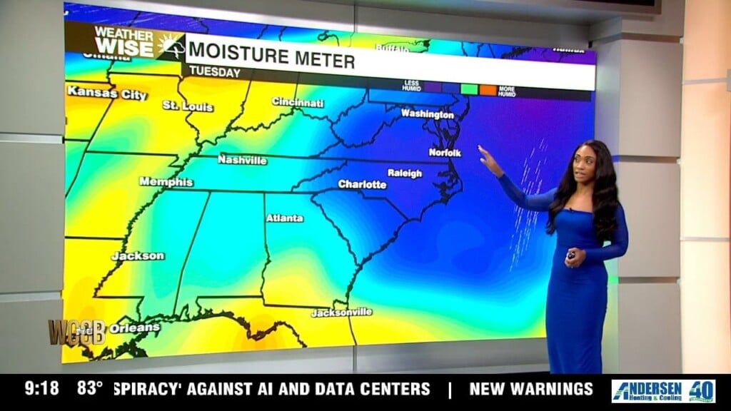
Humid air with more widespread rain Tuesday

The best opportunity for more widespread rainfall arrives on Tuesday. Clouds willΒ be the theme of the dayΒ helping keep temperatures a little cooler, with afternoon highs settling into the middle 80s. Rain and storm chances increase during the afternoon and evening hours, and while we're not expecting severe weather, any steady rainfall will be welcome news.Β 

Building heat through the weekend

By Saturday, the heat is back in a big way. We’ll see plenty of sunshine from morning through the afternoon with just a few passing clouds, and highs will climb right up near 90 degrees. It’ll feel like a classic summer day.

Clear evening with rising temperatures starting Friday

After several days of pleasant weather, the sunshine continues as we head toward the end of the week. Tonight conditions remain on the clear side with lows in the lower to mid 60s. The warming trend continues Friday as temperatures climb a few degrees higher, reaching the upper 80s under plenty of sunshine. While the weather remains quiet, you'll definitely notice a more summer-like feel developing across the area.

Slightly warmer Thursday with heat building this weekend

Tonight will be quiet with mostly clear skies and comfortable temperatures falling into the upper 50s and lower 60s. It will be a great night to open the windows and enjoy the fresh air. As we head into Thursday, expect plenty of sunshine from start to finish.

Cooler temperatures tonight before bright sunny skies move in

By the time you wake up Wednesday, most locations will be dry. Clouds may be slow to clear at first, but sunshine will gradually break through during the afternoon. You'll notice the air feeling less humid, and temperatures will climb to around 80 degrees.

Early morning showers and storms Tuesday

Rain and storm chances continue this until 7pm before the system finally begins moving east. By Tuesday morning, a leftover shower can't be ruled out, mainly before sunrise. After that, conditions improve quickly. Clouds will gradually break apart, allowing for increasing sunshine through the afternoon. A much more comfortable air mass arrives behind the departing system. High temperatures will only reach the mid-70s, and humidity levels will be noticeably lower, making it feel much more refreshing.