Janessa Webb

Email Janessa

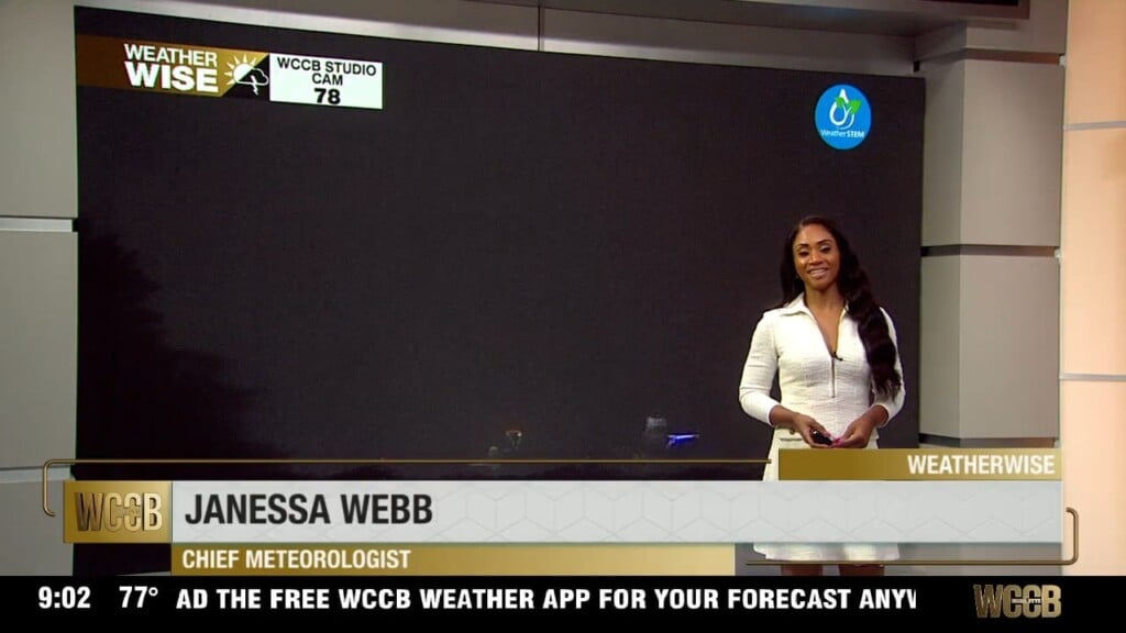
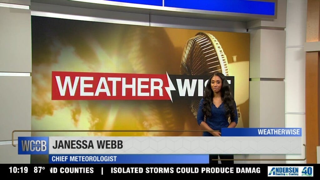
Nationally recognized Meteorologist Janessa Webb brings her passion for weather and storytelling to the WCCB Charlotte WeatherWise team, where she delivers accurate and engaging forecasts every weekday evening at 9 and 10 p.m.

Born and raised in Anchorage, Alaska, Janessa’s passion for extreme weather began at an early age and has guided her through an extensive career in both national and local television. She returned to North Carolina after nearly four years in Washington, D.C., where she built a weather department from the ground up and served as Chief Meteorologist for several leading broadcasts.

Before that, Janessa was a Meteorologist for NBC News and MSNBC in New York City, appearing on programs such as Early Today, Morning Joe, NBC Nightly News, and The 11th Hour with Brian Williams. She also filled in for Al Roker on TODAY and previously served as a weekday meteorologist for WEWS-TV in Cleveland, Ohio. Webb spent her early years as a meteorologist in Anchorage, Alaska, at KYUR and KTVA for nearly nine years. She graduated from East Anchorage High School prior to studying at Winston-Salem State University and Mississippi State University.

Webb is a member of the National Weather Association, The American Meteorological Society, the National Association of Black Journalists. Webb has served as a mentor to young journalists throughout her career and believes strongly in giving back to the community.

When Webb isn’t tracking the weather, her faith and family remain the center of her life and foundation. She also has a passion for teaching and is a certified hot yoga instructor and personal trainer, she embraces an active lifestyle and loves a good adventure.

Articles

Scattered storms continuing through the evening

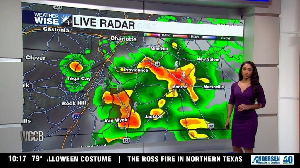
Tonight we remain under a level 1 for severe storms, with lingering storms into the overnight. Many areas will pick up an additional tenth of an inch with overnight low still humid in the 70s.

Scattered storms into Wednesday

Don't expect much of a break Wednesday. Early morning fog will give way to another warm, sticky afternoon with highs in the mid-80s. As the atmosphere heats up, scattered showers and thunderstorms will redevelop later in the day. Some storms will once again be capable of producing torrential rainfall, frequent lightning, and gusty winds before gradually fading overnight. Overnight temperatures will dip to around 70 degrees.

A few showers tonight with more severe weather potential Tuesday

Once we get into Tuesday, the atmosphere becomes much more favorable for widespread showers and thunderstorms. While the morning may feature only a few light showers or drizzle, the afternoon tells a different story as heat and humidity help storms rapidly develop across the region. Tomorrow has the greatest potential ​for severe weather.

Rain return Saturday night into next week

As we kick off the first weekend of the month, temperatures will start climbing back into the lower 90s on Saturday, and you'll definitely notice the humidity making a comeback.

Perfect evening with more sunshine Friday

Friday brings another warm summer day with a mix of sunshine and passing clouds. Afternoon temperatures will climb to around 90 degrees, while you'll notice the air becoming a little more humid, it still won't feel overly uncomfortable. The good news is that Friday stays completely dry, making it another great day for any outdoor plans before the weather becomes more active.

Refreshing evening with clear skies

That refreshing pattern sticks around on Thursday with wall-to-wall sunshine and afternoon highs topping out around 87 degrees. Thanks to the lower humidity and a light breeze out of the north, it will feel much more comfortable than what we normally expect this time of year. Thursday night brings another cool and quiet night with lows once again settling into the mid-60s.

Severe Thunderstorm Watch in place until 1am

A Severe Thunderstorm Watch is in effect through 8 p.m. for the entire Charlotte metro and surrounding communities, including Mecklenburg, Cabarrus, Caldwell, Cleveland, Gaston, Iredell, Lincoln, Rowan, Stanly, and Union counties. The strongest storms could produce wind gusts as high as 70 mph, hail and torrential rain.

Humid evening with isolated severe weather expected Tuesday

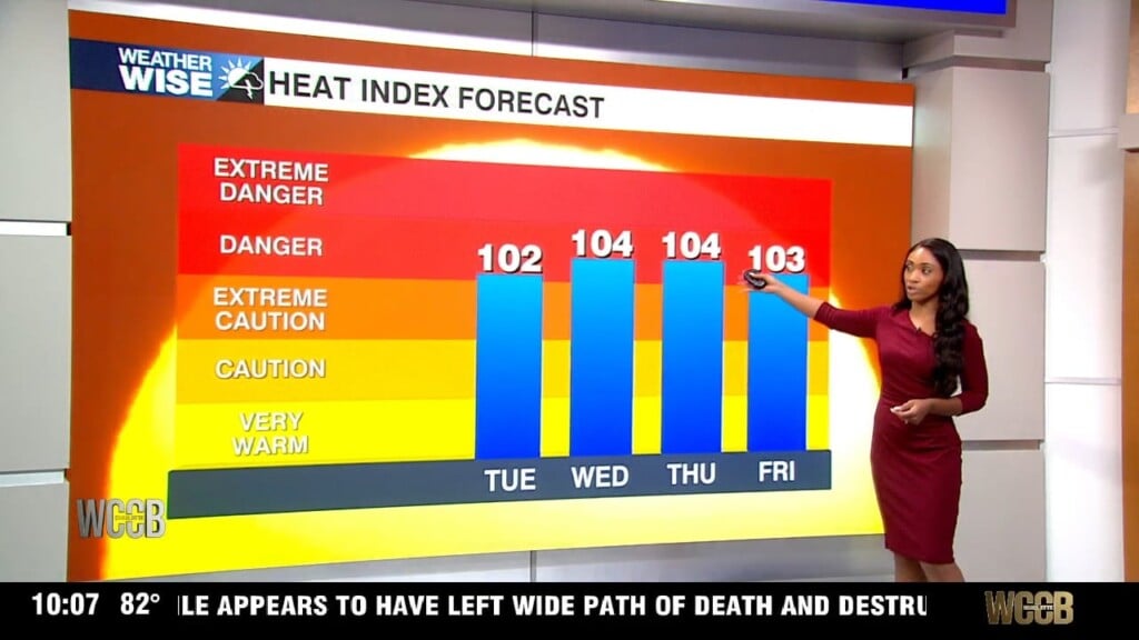
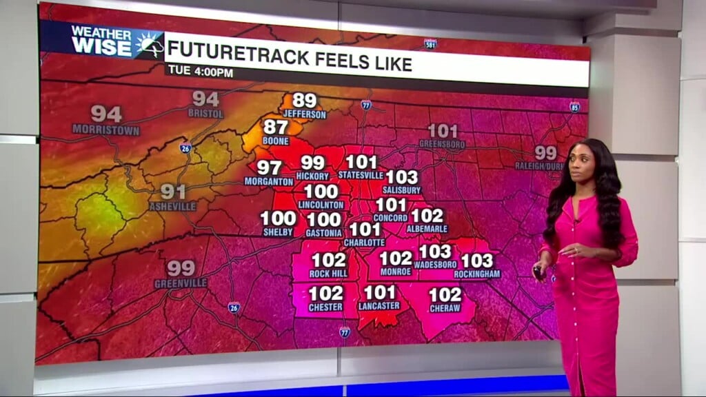
The region will squeeze in one more hot and humid summer day before a cold front finally pushes through. Afternoon highs will climb into the middle 90s, but with oppressive humidity, it'll feel more like 100 to 105 degrees.  Storms are expected to begin developing during the afternoon before becoming more widespread through the evening hours. The greatest concern is between 3 p.m. and 10 p.m. Tuesday, when a few thunderstorms could become strong to severe.